| Burial Sites in Alexandria, New Hampshire |
|---|
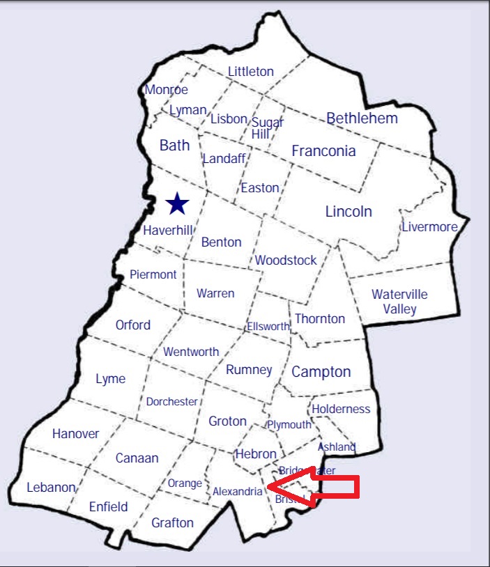
| To see a map of all sites click here. |
| A03-004 Bailey, Mt. Cardigan Road, USGS Newfound Lake Quadrangle, E26995, N483530, Zone 19 (43° 38' 13"N, 71° 51' 7"W), Source: Town office 1994 MAP |
| A03-007 Burns, Burns Hill Road, USGS Danbury Quadrangle, E27638, N483110, Zone 19 (43° 36' 4"N, 71° 46' 14"W), Source: Town Office 1994 MAP |
| A03-008 Crawford, Village Road, USGS Danbury Quadrangle, E27463, N483289, Zone 19 (43° 37' 1"N, 71° 47' 35"W), Source: Town Office 1994 MAP |
| A03-011 Graveyard, off Fowler River Road, USGS Newfound Lake Quadrangle, E27307, N483480, Zone 19 (43° 38' 1"N, 71° 48' 47"W), Source: Town office 1994 MAP |
| A03-002 Linfield, off Brook Road at intersection of Kummerer Road and Linfield Road, USGS Newfound Lake Quadrangle, E26997, N483582, Zone 19 (43° 38' 30"N, 71° 51' 7"W), Source: Town Office 1994 MAP |
| A03-005 Patten, Washburn Road, USGS Danbury Quadrangle, E27187, N483240, Zone 19 (43° 36' 42"N, 71° 49' 37"W), Source: Town Office 1994 MAP |
| A03-006 Patten (Scott), Mt. Cardigan Road, USGS Danbury Quadrangle, E27374, N483290, Zone 19 (43° 36' 60"N, 71° 48' 14"W), Source: Town Office 1994 MAP |
| A03-001 Pitman, Welton Falls Road, USGS Newfound Lake Quadrangle, E27000, N483749, Zone 19 (43° 39' 24"N, 71° 51' 8"W), Source: Town Office 1994 MAP |
| A03-010 Rhoades, Route 104, USGS Danbury Quadrangle, E27544, N482755, Zone 19 (43° 34' 9"N, 71° 46' 51"W), Source: Town Office 1994 MAP |
| A03-009 Riverside, Fowler River Road, USGS Newfound Lake Quadrangle, E27282, N483509, Zone 19 (43° 38' 10"N, 71° 48' 59"W), Source: Town Office 1994 MAP |
| A03-003 Tucker, Shem Valley Road, USGS Newfound Lake Quadrangle, E26879, N483606, Zone 19 (43° 38' 37"N, 71° 51' 60"W), Source: Town Office 1994 MAP |
Listings Copyright © 1998-2024 New Hampshire Old Graveyard Association.
All rights reserved.
Send mail to webmaster@nhoga.org with questions or comments about this web site.