| Burial Sites in Brookline, New Hampshire |
|---|
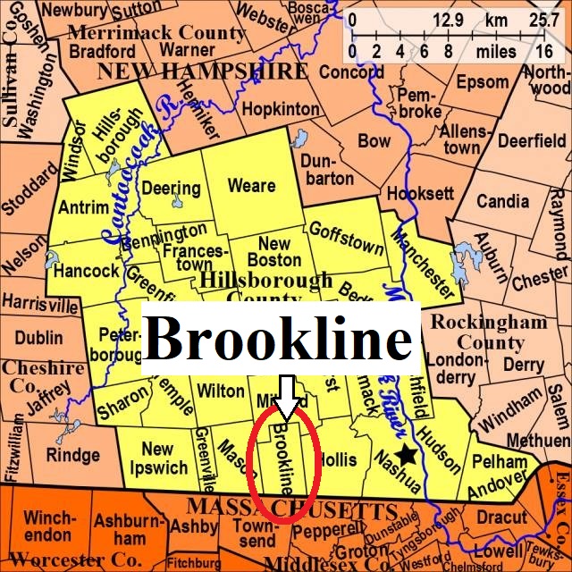
| To see a map of all sites click here. |
| B20-004 Cemetery-in-Woods, off Rocky Pond Road, USGS Townsend Quadrangle, E28352, N473519, Zone 19 (42° 44' 26"N, 71° 38' 41"W), This is the oldest known burial ground for Brookline, dating to 1752. Source: Marjorie Chandler 1993 MAP |
| B20-001 Lakeview, Mason Road, USGS Townsend Quadrangle, E28057, N473492, Zone 19 (42° 44' 14"N, 71° 40' 50"W), Source: Marjorie Chandler 1993 MAP |
| B20-002 North Brookline, Route 13, USGS Milford Quadrangle, E28107, N473768, Zone 19 (42° 45' 44"N, 71° 40' 32"W), Source: N.H. Historical Society 1975 MAP |
| B20-003 Pine Grove, South Main St. USGS Townsend Quadrangle, E28245, N473332, Zone 19 (42° 43' 25"N, 71° 39' 25"W), Source: Marjorie Chandler 1993 MAP |
Listings Copyright © 1998-2024 New Hampshire Old Graveyard Association.
All rights reserved.
Send mail to webmaster@nhoga.org with questions or comments about this web site.