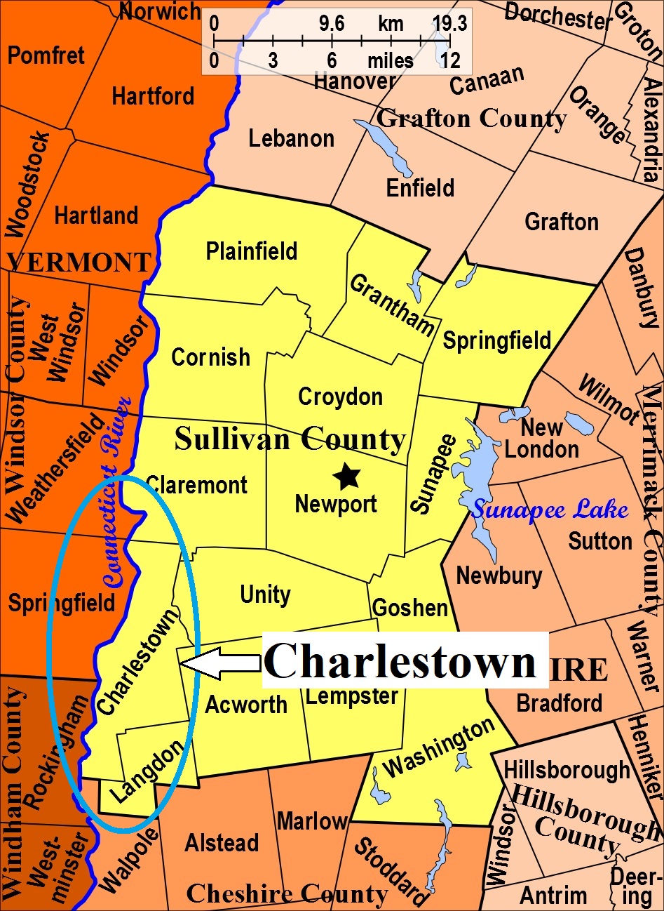


| Burial Sites in Charlestown, New Hampshire |
|---|
| To see a map of all sites click here. |
| C09-001 Forest Hill, East Street, USGS Bellows Falls Quadrangle, E70943, N479022, Zone 18 (43° 14' 16"N, 72° 25' 15"W), Source: Donald Richmond 1988 MAP |
| C09-002 Hope Hill, off River Road (Rte. 12A), USGS Springfield Quadrangle, E71183, N479866, Zone 18 (43° 18' 46"N, 72° 23' 17"W), Source: Donald Richmond 1988 MAP |
| C09-005 Hubbard, Chestnut Flats Road, USGS Springfield Quadrangle, E71300, N479840, Zone 18 (43° 18' 37"N, 72° 22' 25"W), Source: Donald Richmond 1988 MAP |
| C09-003 Pinecrest, off Old Claremont Road, USGS Springfield Quadrangle, E70989, N479210, Zone 18 (43° 15' 16"N, 72° 24' 52"W), Source: Donald Richmond 1988 MAP |
| C09-004 St. Catherine's (Catholic), Southwest St. USGS Bellows Falls Quadrangle, E70892, N478950, Zone 18 (43° 13' 53"N, 72° 25' 38"W), Source: Donald Richmond 1988 MAP |
Listings Copyright © 1998-2024 New Hampshire Old Graveyard Association.
All rights reserved.
Send mail to webmaster@nhoga.org with questions or comments about this web site.
