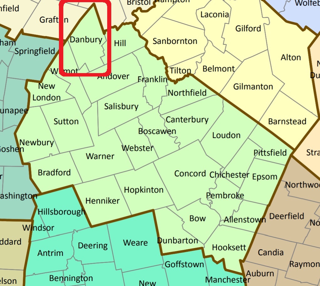


Note from Webmaster: 11/26/2016
Danbury's Cemeteries were not included in the NHOGA data base as of 2016. Unless otherwise noted,the source of the cemetery names and lat/longs is:
If you are aware of any details or other Danbury Cemeteries, please send email to NHOGA Webmaster
| Burial Sites in Danbury, New Hampshire |
|---|
| To see a map of all sites click here. |
| D02-001 Baptist Cemetery, School Pond Road, (GPS: 43.5336100°N, 71.8711100°W), Source: Find a Grave 2016 MAP |
| D02-002 Bean Cemetery, New Canada Rd. (Exact location unknown), (Coordinates needed) Source: CemeteryPlots.com 2016 |
| D02-010 Danforth Plot, (Exact location unknown), (Coordinates needed) Source: Find a Grave 2019 |
| D02-003 Eastern Cemetery, Bohonon Road, (GPS: 43.5135100°N, 71.8410200°W), Source: Find a Grave 2016 MAP |
| D02-004 Elmwood Cemetery, Corner of Ragged Mountain Road and Elmwood, (GPS: 43.5135100°N, 71.8410200°W), Source: Find a Grave 2016 MAP |
| D02-005 Jewett Cemetery, Forbe Mountain Road, (GPS: 43.5710516°N, 71.8489334°W), Source: Find a Grave 2019 MAP |
| D02-006 Litchfield Cemetery, Rte. 4, (GPS: 43.5423900°N, 71.8851600°W), Source: Find a Grave 2016 MAP |
| D02-007 Riverdale Cemetery, North Road, (GPS: 43.5292000°N, 71.8622000°W), Source: Find a Grave 2016 MAP |
| D02-008 South Danbury Cemetery, Route 4, (GPS: 43.4808800°N, 71.8866900°W), Source: Find a Grave 2016 MAP |
| D02-011 Town Cemetery, (Exact location unknown), (Coordinates needed) Source: Find a Grave 2019 |
| D02-009 Ward Hill Cemetery, Ward Hill Road, (GPS: 43.5379250°N, 71.8313580°W), Source: Find a Grave 2019 MAP |
Listings Copyright © 1998-2024 New Hampshire Old Graveyard Association.
All rights reserved.
Send mail to webmaster@nhoga.org with questions or comments about this web site.
