| Burial Sites in Hancock, New Hampshire |
|---|
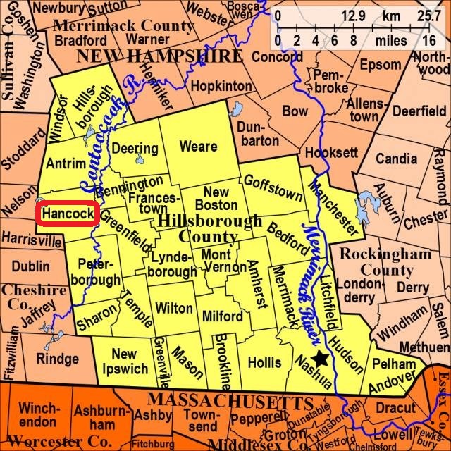
| To see a map of all sites click here. |
| H06-001 Hillside, Bennington Rd. (Rte. 137) north off Rte. 123, USGS Peterborough North Quadrangle, E25753, N476316, Zone 19 (42° 59' 3.85"N, 71° 58' 25.88"W), (GPS: 42.9844840°N, 71.9734100°W), Source: Caroline Eastman 1994, updated: Sandy Sliviak 2016 MAP |
| H06-002 Norway Plain, Main St. (Rte. 123) behind the 1st Congregational Church, USGS Peterborough North Quadrangle, E25664, N476206, Zone 19 (42° 58' 27.21"N, 71° 59' 3.40"W), (GPS: 42.9742790°N, 71.9838580°W), Source: Caroline Eastman 1994, updated: Sandy Sliviak 2016 MAP |
| H06-003 Pine Ridge, Main St. (Rte. 123) west of Old Dublin Road, USGS Peterborough North Quadrangle, E25641, N476191, Zone 19 (42° 58' 22.09"N, 71° 59' 13.30"W), (GPS: 42.9728570°N, 71.9865690°W), Source: Caroline Eastman 1994, updated: Sandy Sliviak 2016 MAP |
Listings Copyright © 1998-2024 New Hampshire Old Graveyard Association.
All rights reserved.
Send mail to webmaster@nhoga.org with questions or comments about this web site.