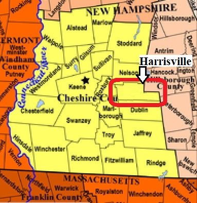


| Burial Sites in Harrisville, New Hampshire |
|---|
| To see a map of all sites click here. |
| H08-002 Island Cemetery, Island Street off Main St. USGS Marlborough Quadrangle, E73686, N475878, Zone 18 (42° 56' 48.40"N, 72° 5' 48.18"W), (GPS: 42.9468210°N, 72.0962500°W), Source: Town of Harrisville 1994, updated: Sandy Sliviak 2016 MAP |
| H08-001 Riverside, Chesham Road, USGS Marlborough Quadrangle, E73296, N475732, Zone 18 (42° 56' 5"N, 72° 8' 42"W), Source: Town of Harrisville 1994 MAP |
| H08-003 St. Denis, off Nelson Road, USGS Marlborough Quadrangle, E73618, N475939, Zone 18 (42° 57' 9"N, 72° 6' 17"W), Source: Town of Harrisville 1994 MAP |
| H08-004 Willard Hill, Old Roxbury Road, USGS Marlborough Quadrangle, E73237, N475721, Zone 18 (42° 56' 3"N, 72° 9' 8"W), Source: Town of Harrisville 1994 MAP |
Listings Copyright © 1998-2024 New Hampshire Old Graveyard Association.
All rights reserved.
Send mail to webmaster@nhoga.org with questions or comments about this web site.
