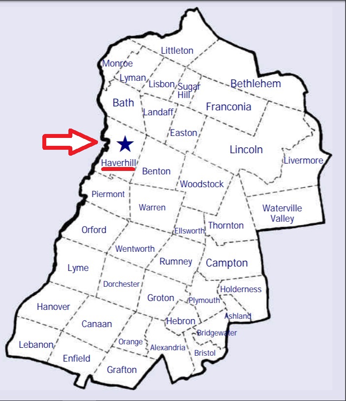
| Burial Sites in Haverhill, New Hampshire |
|---|
| Note: The sites with "red background" do not look correct on the Google maps corresponding to the lat/long coordinates for that cemetery. The problem may be either incorrect lat/long or changed street names. Please send any corrections to NHOGA Webmaster with corrected lat/longs in degrees/minutes/seconds or degrees + fractional degrees to 6 places. |
| To see a map of all sites click here. |
| H10-001 Center Haverhill, Benton Road, USGS East Haverhill Quadrangle, E26080, N488459, Zone 19 (44° 4' 39"N, 71° 59' 14"W), Source: Cemetery Commission 1994 MAP |
| H10-002 East Haverhill, Route 25, USGS East Haverhill Quadrangle, E26042, N487923, Zone 19 (44° 1' 45"N, 71° 59' 22"W), Source: Cemetery Commission 1994 MAP |
| H10-003 Hildreth, Brushwood Road, USGS Newbury Quadrangle, E73872, N488509, Zone 18 (44° 4' 55"N, 72° 1' 7"W), Source: Cemetery Commission 1994 MAP |
| H10-004 Horse Meadow, off Route 10, USGS Newbury Quadrangle, E73679, N488771, Zone 18 (44° 6' 22"N, 72° 2' 29"W), Source: Cemetery Commission 1994 MAP |
| H10-005 Ladd St. Cemetery, Ladd Street, USGS Newbury Quadrangle, E73600, N488076, Zone 18 (44° 2' 38"N, 72° 3' 16"W), Source: Cemetery Commission 1994 MAP |
| H10-006 No. 6 Cemetery, off Lime Kiln Road, USGS East Haverhill Quadrangle, E26340, N487952, Zone 19 (44° 1' 57"N, 71° 57' 9"W), Source: Cemetery Commission 1994 MAP |
| H10-007 Pine Grove, Goose Lane Road, USGS Woodsville Quadrangle, E73847, N489131, Zone 18 (44° 8' 17"N, 72° 1' 8"W), Source: Cemetery Commission 1994 MAP |
Listings Copyright © 1998-2024 New Hampshire Old Graveyard Association.
All rights reserved.
Send mail to webmaster@nhoga.org with questions or comments about this web site.