| Burial Sites in Hollis, New Hampshire |
|---|
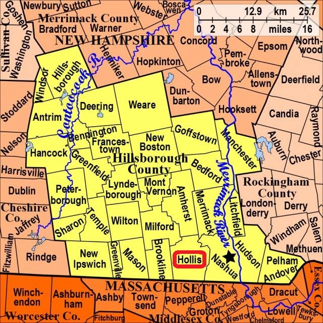
| To see a map of all sites click here. |
| H17-001 Congregational Church, Town Center, USGS Townsend Quadrangle, E28807, N473501, Zone 19 (42° 44' 25.00"N, 71° 35' 20.69"W), (GPS: 42.7403400°N, 71.5886111°W), Source: Hollis Historical Soc. 1988, updated: Russ Brady, 2017 MAP |
| H17-002 East Yard, Wheeler Road, USGS Townsend Quadrangle, E28896, N473584, Zone 19 (42° 44' 52.76"N, 71° 34' 42.70"W), (GPS: 42.7480556°N, 71.5780556°W), Source: Hollis Hist. Soc. 1988, updated: Russ Brady, 2017 MAP |
| H17-003 North Yard, Route 122, USGS South Merrimack Quadrangle, E28712, N473967, Zone 19 (42° 46' 55"N, 71° 36' 9"W), Source: Hollis Hist. Soc. 1988 MAP |
| H17-004 Old Lawrence, Runnells Bridge Rd. (Rte. 111), USGS Townsend Quadrangle, E29087, N473089, Zone 19 (42° 42' 14"N, 71° 33' 12"W), Source: Hollis Hist. Soc. 1988 MAP |
| H17-005 Pine Hill, Nartoff Road, USGS South Merrimack Quadrangle, E29224, N473799, Zone 19 (42° 46' 5.62"N, 71° 32' 21.41"W), (GPS: 42.7683280°N, 71.5387740°W), Source: Sharon M. Howe, 2016 MAP |
| H17-006 South Yard, Main Street (Rte. 122), USGS Pepperell Quadrangle, E28787, N473396, Zone 19 (42° 43' 51"N, 71° 35' 28"W), Source: Hollis Hist. Soc. 1988 MAP |
Listings Copyright © 1998-2024 New Hampshire Old Graveyard Association.
All rights reserved.
Send mail to webmaster@nhoga.org with questions or comments about this web site.