| Burial Sites in Hopkinton, New Hampshire |
|---|
| Note: The sites with "red background" do not look correct on the Google maps corresponding to the lat/long coordinates for that cemetery. The problem may be either incorrect lat/long or changed street names. Please send any corrections to NHOGA Webmaster with corrected lat/longs in degrees/minutes/seconds or degrees + fractional degrees to 6 places. |
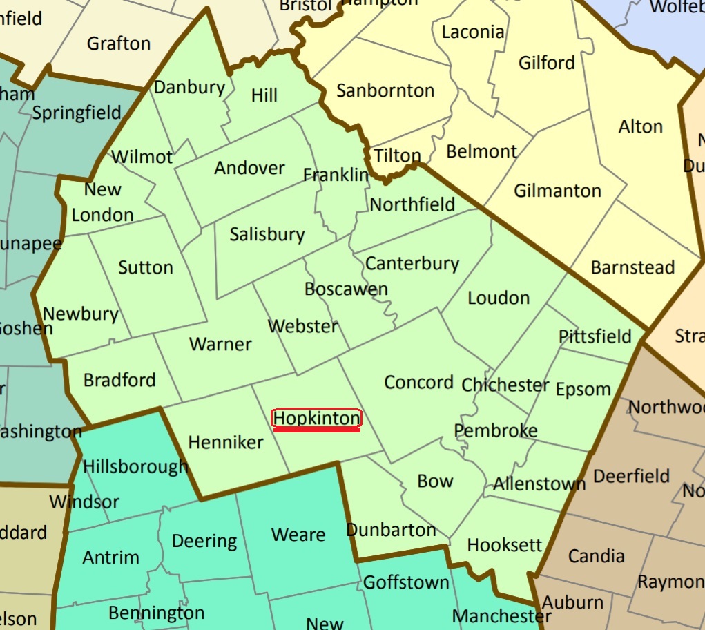
| To see a map of all sites click here. |
| H19-010 Blackwater, Dustin Road, USGS Hopkinton Quadrangle, E28097, N479109, Zone 19 (43° 14' 34"N, 71° 41' 52"W), Source: Priscilla Bohanan 1983 MAP |
| H19-006 Clement Hill, Clement Hill Road, USGS Henniker Quadrangle, E27643, N478720, Zone 19 (43° 12' 23"N, 71° 45' 7"W), Source: Priscilla Bohanan 1983 MAP |
| H19-007 Contoocook, Route 103 (Main St.), USGS Hopkinton Quadrangle, E28000, N478882, Zone 19 (43° 13' 19"N, 71° 42' 31"W), Source: Priscilla Bohanan 1983 MAP |
| H19-009 Hardy, Hardy Brook Road, USGS Henniker Quadrangle, E27571, N478966, Zone 19 (43° 13' 42"N, 71° 45' 43"W), Source: Priscilla Bohanan 1983 MAP |
| H19-005 Huse, Henniker Road, USGS Hopkinton Quadrangle, E27689, N478300, Zone 19 (43° 10' 8"N, 71° 44' 41"W), Source: Priscilla Bohanan 1983 MAP |
| H19-003 New Cemetery, off Route 202, USGS Hopkinton Quadrangle, E28363, N478484, Zone 19 (43° 11' 14"N, 71° 39' 45"W), Source: Priscilla Bohanan 1983 MAP |
| H19-002 Old Cemetery, Route 202, USGS Hopkinton Quadrangle, E28286, N478537, Zone 19 (43° 11' 31"N, 71° 40' 20"W), Source: Priscilla Bohanan 1983 MAP |
| H19-008 Putnam, Kearsarge Ave. USGS Hopkinton Quadrangle, E27754, N479104, Zone 19 (43° 14' 29"N, 71° 44' 24"W), Source: Priscilla Bohanan 1983 MAP |
| H19-001 Putney, Old Putney Hill Road, USGS Hopkinton Quadrangle, E28151, N478586, Zone 19 (43° 11' 45"N, 71° 41' 20"W), Source: Priscilla Bohanan 1983 MAP |
| H19-004 Stumpfield, off Route 103, USGS Hopkinton Quadrangle, E28028, N478904, Zone 19 (43° 13' 27"N, 71° 42' 19"W), Markers may have been moved from the Stumpfield Road area, with the building of a flood control dam. Source: Priscilla Bohanan 1983 MAP |
Listings Copyright © 1998-2024 New Hampshire Old Graveyard Association.
All rights reserved.
Send mail to webmaster@nhoga.org with questions or comments about this web site.