| Burial Sites in Lyman, New Hampshire |
|---|
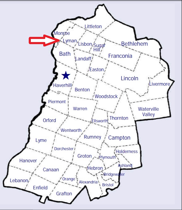
| To see a map of all sites click here. |
| L16-001 Center Cemetery, Parker Hill Road, USGS Lower Waterford Quadrangle, E26545, N490553, Zone 19 (44° 16' 2"N, 71° 56' 19"W), Source: George Godfrey 1978 MAP |
| L16-005 Mardin, off Lyman Road, USGS Lower Waterford Quadrangle, E26875, N490453, Zone 19 (44° 15' 33"N, 71° 53' 49"W), Source: George Godfrey 1978 MAP |
| L16-002 Moulton Hill, Moulton Hill Road, USGS Lisbon Quadrangle, E26149, N490329, Zone 19 (44° 14' 45"N, 71° 59' 14"W), Source: George Godfrey 1978 MAP |
| L16-003 Parker Hill, Parker Hill Road, USGS Lower Waterford Quadrangle, E26479, N490456, Zone 19 (44° 15' 30"N, 71° 56' 47"W), Source: George Godfrey 1978 MAP |
| L16-004 Pond Cemetery, Lyman Road, USGS Lower Waterford Quadrangle, E26773, N490545, Zone 19 (44° 16' 2"N, 71° 54' 36"W), Source: George Godfrey 1978 MAP |
Listings Copyright © 1998-2024 New Hampshire Old Graveyard Association.
All rights reserved.
Send mail to webmaster@nhoga.org with questions or comments about this web site.