| Burial Sites in Milford, New Hampshire |
|---|
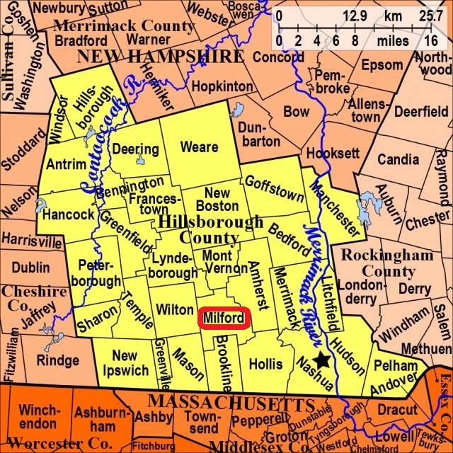
| To see a map of all sites click here. |
| M12-006 Elm Street Cemetery, Elm Street, USGS Milford Quadrangle, E28309, N474574, Zone 19 (42° 50' 7.48"N, 71° 39' 14.32"W), (GPS: 42.8355390°N, 71.6535400°W), Source: Russ Brady, 2016 MAP |
| M12-001 North Yard Cemetery, River Road, USGS Milford Quadrangle, E28139, N474733, Zone 19 (42° 50' 57.23"N, 71° 40' 31.35"W), (GPS: 42.8492980°N, 71.6749050°W), Source: NHHS 1975, updated: Russ Brady, 2016 MAP |
| M12-002 Riverside, Route 101A (Nashua St.), USGS Milford Quadrangle, E28478, N474487, Zone 19 (42° 49' 41.03"N, 71° 37' 58.76"W), (GPS: 42.8281330°N, 71.6324750°W), Source: NHHS 1975, updated: Russ Brady, 2016 MAP |
| M12-003 Union St. Cemetery, Union Street, USGS Milford Quadrangle, E28316, N474532, Zone 19 (42° 49' 53.95"N, 71° 39' 10.66"W), (GPS: 42.8317540°N, 71.6524720°W), Source: NHHS 1975, updated: Russ Brady, 2016 MAP |
| M12-004 West Street Cemetery, West Street, USGS Milford Quadrangle, E28263, N474561, Zone 19 (42° 50' 2.80"N, 71° 39' 34.38"W), (GPS: 42.8341990°N, 71.6590800°W), Source: NHHS 1975, updated: Russ Brady, 2016 MAP |
| M12-005 Wilson, Amherst Street, USGS Milford Quadrangle, E28427, N474635, Zone 19 (42° 50' 28"N, 71° 38' 23"W), Source: Leslie Geleszinski 1994 MAP |
Listings Copyright © 1998-2024 New Hampshire Old Graveyard Association.
All rights reserved.
Send mail to webmaster@nhoga.org with questions or comments about this web site.