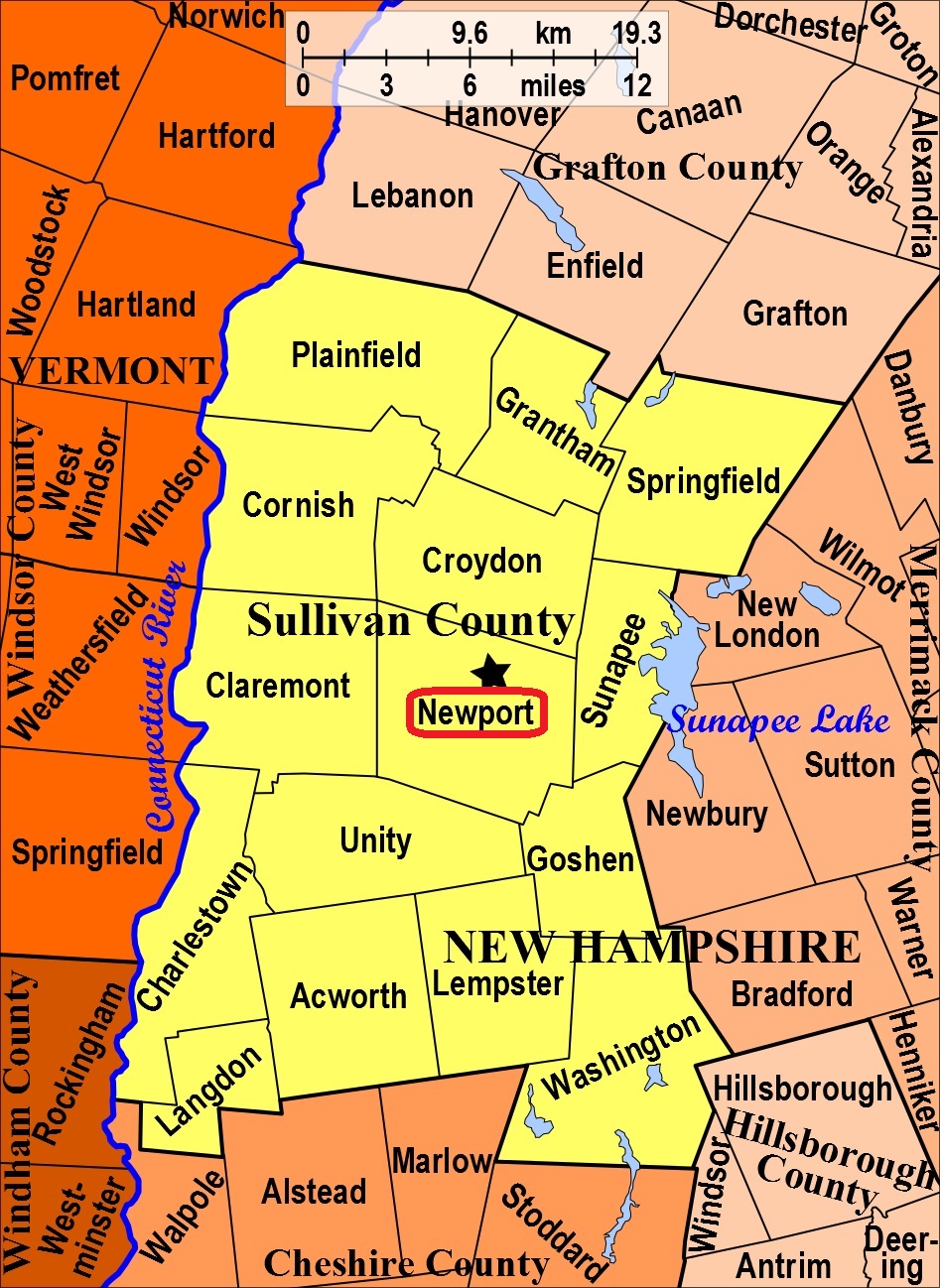


| Burial Sites in Newport, New Hampshire |
|---|
| To see a map of all sites click here. |
| N13-004 Maple St. Cemetery, Maple Street, USGS Newport Quadrangle, E72959, N480473, Zone 18 (43° 21' 44"N, 72° 10' 0"W), Source: Notes from Newport 1988 MAP |
| N13-003 North Newport Cemetery (Northville), Oak Street Ext. USGS Sunapee Quadrangle, E72591, N480762, Zone 18 (43° 23' 21.78"N, 72° 12' 39.05"W), (GPS: 43.3895000°N, 72.2104000°W), Source: Notes from Newport 1988; Lat/Long updated from Find-a-Grave 2017 MAP |
| N13-006 Pine Grove, Route 103, USGS Sunapee Quadrangle, E73106, N480675, Zone 18 (43° 22' 47.97"N, 72° 8' 51.75"W), (GPS: 43.3801060°N, 72.1472450°W), Source: Notes from Newport 1988; Lat/Long updated Sue Hunt 2017 MAP |
| N13-002 Pine Street East, Pine Street, USGS Newport Quadrangle, E72843, N480480, Zone 18 (43° 21' 48"N, 72° 10' 51"W), Source: Notes from Newport 1988 MAP |
| N13-001 Pine Street West, Pine Street, USGS Newport Quadrangle, E72841, N480462, Zone 18 (43° 21' 42"N, 72° 10' 53"W), Source: Notes from Newport 1988 MAP |
| N13-005 St. Patrick's, off Summer St. USGS Newport Quadrangle, E72924, N480585, Zone 18 (43° 22' 21"N, 72° 10' 14"W), Source: Notes from Newport 1988 MAP |
Listings Copyright © 1998-2024 New Hampshire Old Graveyard Association.
All rights reserved.
Send mail to webmaster@nhoga.org with questions or comments about this web site.
