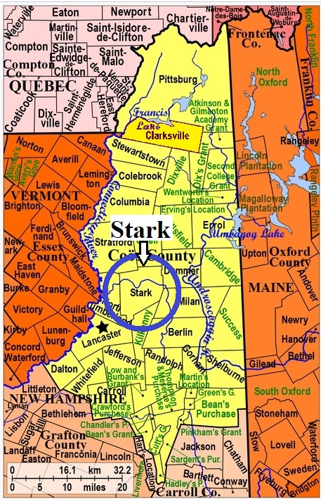
| Burial Sites in Stark, New Hampshire |
|---|
| Note: The sites with "red background" do not look correct on the Google maps corresponding to the lat/long coordinates for that cemetery. The problem may be either incorrect lat/long or changed street names. Please send any corrections to NHOGA Webmaster with corrected lat/longs in degrees/minutes/seconds or degrees + fractional degrees to 6 places. |
| To see a map of all sites click here. |
| S14-001 Blake, Route 110, USGS Stark Quadrangle, E30723, N494100, Zone 19 (44° 35' 54"N, 71° 25' 44"W), Source: NHHS 1975 MAP |
| S14-002 Emerson, Emerson Road, USGS Percy Peaks Quadrangle, E30551, N484453, Zone 19 (43° 43' 49"N, 71° 24' 53"W), Source: NHHS 1975 MAP |
| S14-003 Percy, Route 110, USGS Stark Quadrangle, E31139, N494352, Zone 19 (44° 37' 20"N, 71° 22' 39"W), Source: NHHS 1975 MAP |
| S14-004 Village Cemetery, Route 110, USGS Stark Quadrangle, E30896, N494119, Zone 19 (44° 36' 2"N, 71° 24' 26"W), Source: NHHS 1975 MAP |
Listings Copyright © 1998-2024 New Hampshire Old Graveyard Association.
All rights reserved.
Send mail to webmaster@nhoga.org with questions or comments about this web site.