| Burial Sites in Surry, New Hampshire |
|---|
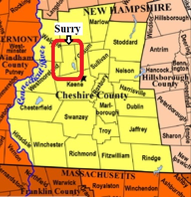
| To see a map of all sites click here. |
| S24-001 Pond Road Cemetery, Pond Road, USGS Keene Quadrangle, E71669, N476388, Zone 18 (42° 59' 55"N, 72° 20' 30"W), Source: Lynda Albertson 1988 MAP |
| S24-002 South Cemetery, East Surry Road, USGS Keene Quadrangle, E71912, N476338, Zone 18 (42° 59' 36"N, 72° 18' 44"W), Source: Lynda Albertson 1988 MAP |
| S24-003 Southwest Cemetery, Mine Ledge Road, USGS Walpole Quadrangle, E71567, N476409, Zone 18 (43° 0' 3"N, 72° 21' 15"W), Source: Lynda Albertson 1988 MAP |
| S24-004 Village Cemetery, Route 12A, USGS Walpole Quadrangle, E71816, N476624, Zone 18 (43° 1' 10"N, 72° 19' 22"W), Source: Lynda Albertson 1988 MAP |
Listings Copyright © 1998-2024 New Hampshire Old Graveyard Association.
All rights reserved.
Send mail to webmaster@nhoga.org with questions or comments about this web site.