| Burial Sites in Troy, New Hampshire |
|---|
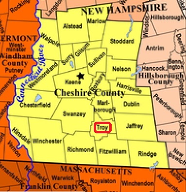
| To see a map of all sites click here. |
| T06-003 Mountain View, North Main St. (Rte. 12), USGS Monadnock Mountain Quadrangle, E72986, N474626, Zone 18 (42° 50' 11"N, 72° 11' 15"W), Source: Town of Troy 1994 MAP |
| T06-002 Mt. Carmel, Marlborough Road, USGS Monadnock Mountain Quadrangle, E72997, N474634, Zone 18 (42° 50' 13"N, 72° 11' 10"W), Source: Town of Troy 1994 MAP |
| T06-001 Village Cemetery, Derby Lane, USGS Monadnock Mountain Quadrangle, E73000, N474527, Zone 18 (42° 49' 39"N, 72° 11' 10"W), Source: Town of Troy 1994 MAP |
Listings Copyright © 1998-2024 New Hampshire Old Graveyard Association.
All rights reserved.
Send mail to webmaster@nhoga.org with questions or comments about this web site.