| Burial Sites in Waterville Valley, New Hampshire |
|---|
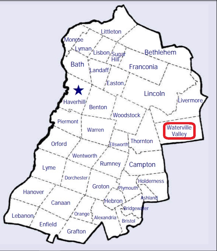
| To see a map of all sites click here. |
| W06-002 Burbank/Foss, Abandoned road off of Rt. 49, USGS Waterville Valley Quadrangle, E29404, N486398, Zone 19 (43° 54' 7.54"N, 71° 33' 52.51"W), (GPS: 43.9021616°N, 71.5641063°W), Four stones only. No vehicle access. Source: Find A Grave 2024 MAP See: Find a Grave |
| W06-001 Waterville Valley Cemetery, Old Road, USGS Waterville Valley Quadrangle, E29870, N487065, Zone 19 (43° 57' 48.16"N, 71° 30' 32.90"W), (GPS: 43.9634446°N, 71.5086564°W), Source: Norton Bagley 1988, updated: Find a Grave 2024 MAP See: Find a Grave |
Listings Copyright © 1998-2024 New Hampshire Old Graveyard Association.
All rights reserved.
Send mail to webmaster@nhoga.org with questions or comments about this web site.