| Burial Sites in Webster, New Hampshire |
|---|
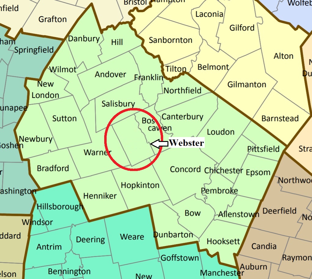
| To see a map of all sites click here. |
| W08-001 Beaver Dam, Long Street, USGS Webster Quadrangle, E28087, N480121, Zone 19 (43° 20' 1"N, 71° 42' 11"W), Use of this cemetery is shared with Boscawen. Source: Town of Webster 1994 MAP |
| W08-002 Clough, Clough Hill Road, USGS Webster Quadrangle, E27773, N479465, Zone 19 (43° 16' 26"N, 71° 44' 20"W), This is the larger of 2 sites on Clough & Sanborn Hill Road. Source: Town of Webster 1994 MAP |
| W08-004 Corser Hill, Allen Road, USGS Webster Quadrangle, E28094, N480056, Zone 19 (43° 19' 40"N, 71° 42' 7"W), Source: Town of Webster 1994 MAP |
| W08-003 Goodhue, Mutton Road, USGS Webster Quadrangle, E28007, N480240, Zone 19 (43° 20' 39"N, 71° 42' 48"W), Source: Town of Webster 1994 MAP |
| W08-006 Old Meeting House, Pleasant Street, USGS Webster Quadrangle, E28017, N480063, Zone 19 (43° 19' 42"N, 71° 42' 41"W), Source: Town of Webster 1994 MAP |
| W08-005 Riverdale, Tyler Road, USGS Webster Quadrangle, E28008, N479541, Zone 19 (43° 16' 53"N, 71° 42' 37"W), Source: Town of Webster 1994 MAP |
| W08-02A Sanborn, Clough Hill Road, USGS Webster Quadrangle, E27784, N479453, Zone 19 (43° 16' 22"N, 71° 44' 15"W), This is the smaller of 2 sites on Clough & Sanborn Hill Road. Town marked the map as if it were only one cemetery. Source: Town of Webster 1994 MAP |
Listings Copyright © 1998-2024 New Hampshire Old Graveyard Association.
All rights reserved.
Send mail to webmaster@nhoga.org with questions or comments about this web site.