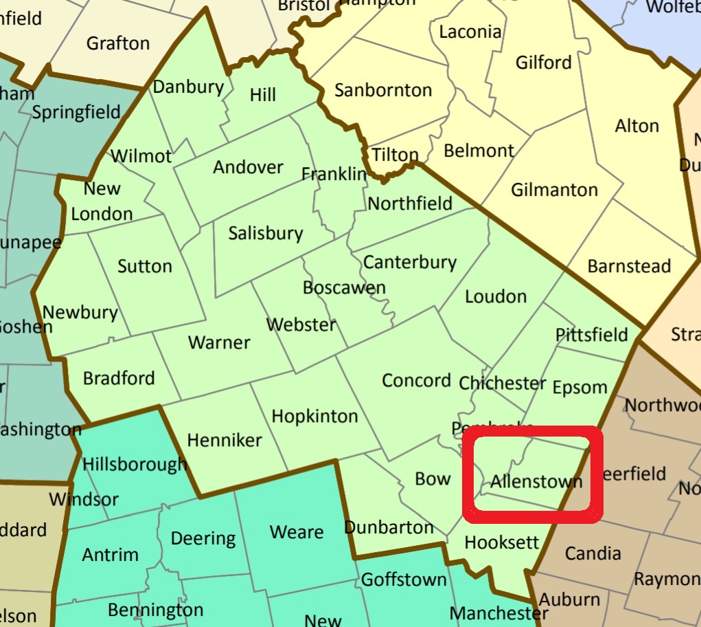


In 2003 the Allenstown Historical Committee, lead by Harriet Bean, made a survey of the known private graveyards in Allenstown. Copies of this survey are on file with the NH Historical Society and the NH Department of Records Management and Archives.
| Burial Sites in Allenstown, New Hampshire |
|---|
| To see a map of all sites click here. |
| ------ Allen, See: Dowst-Allen, A04-005 |
| ------ Batchelder, See: Batchelder-Hayes, A04-001 |
| ------ Batchelder, See: Batchelder-Blaisdell, A04-002 |
| A04-002 Batchelder-Blaisdell, East of the jct. of Deerfield Rd. and Mt. Delight Road, USGS Gossville Quadrangle, E31005, N477923, Zone 19 (43° 8' 38"N, 71° 20' 9"W), Surnames Blaisdell, Nelson. Source: Harriel Bean, 2003 MAP |
| A04-001 Batchelder-Hayes, South side of Deerfield Road, west of its jct. with Mt. Delight Road. USGS Gossville Quadrangle, E30971, N477940, Zone 19 (43° 8' 43"N, 71° 20' 24"W), Sign on gate: A descendant / Adin M. Noyes / Suncook, NH / Caretaker of this cemetery / 1974. Surnames: Batchelder, Hayes, Robie. Source: Harriet Bean, 2003 MAP |
| ------ Blaisdell, See: Batchelder-Blaisdell, A04-002 |
| A04-003 Burgin, On state-owned land across from the Old Allenstown Meeting House, USGS Suncook Quadrangle, E30637, N478115, Zone 19 (43° 9' 37"N, 71° 22' 54"W), Note: All stones have been lost or removed with the exception of one broken stone. Source: Harriet Bean, 2003 MAP |
| A04-004 Clark Burial Ground, On Pioneer Trail, beyond the maintenance sheds, in Bear Brook State Park. USGS Suncook Quadrangle, (Coordinates needed) (Coordinates needed), Surrounded with granite posts. Surnames: Clark, Johnson. Source: Harriet Bean, 2003 |
| ------ Dowst, See: Dowst-Allen, A04-005 |
| A04-005 Dowst-Allen, Wing Road, USGS Gossville Quadrangle, E30852, N478173, Zone 19 (43° 9' 58"N, 71° 21' 20"W), Note: approximately 400' east of road, directly behind Talbot residence. Can be reached by following the stone wall that runs just south of the Talbot residence. Stone walls on all four sides. Surnames: Brown, Mardin, Dowst, Evans, Allen, Rollins. Source: Harriet Bean, 2003 MAP |
| A04-006 Evans, Northeast side of Deerfield Road, opposite Hayward residence, USGS Gossville Quadrangle, E30727, N478070, Zone 19 (43° 9' 23"N, 71° 22' 14"W), Surnames: Evans, Moses, Sanborn, Kennison , Wiggin, Dowst (Doust), Williams. Source: Harriet Bean, 2003 MAP |
| ------ Hayes, See: Batchelder-Hayes, A04-001 |
| A04-008 Kenison Corner, East Section, Corner of Deerfield Road and Podunk Road, east of Podunk, USGS Gossville Quadrangle, E30839, N477966, Zone 19 (43° 8' 51"N, 71° 21' 23"W), Source: Harriet Bean, 2003 MAP |
| A04-007 Kenison Corner, West Section, Corner of Deerfield Road and Podunk Road, west of Podunk. USGS Gossville Quadrangle, E30852, N477954, Zone 19 (43° 8' 47"N, 71° 21' 17"W), Source: Harriet Bean, 2003 MAP |
| ------ Lane, See: Lane-Lear, A04-010 |
| A04-010 Lane-Lear, 150 feet east of 89 New Rye Road, directly behind LaFleur residence. USGS Gossville Quadrangle, E30735, N478226, Zone 19 (43° 10' 13.79"N, 71° 22' 12.05"W), (GPS: 43.1705759°N, 71.3695239°W), Note: Listed on the Epsom listing (E08-016) as being on the town line, however on the USGS map the coordinates shows it entirely in Epsom. The original Allentown coordinates were suspiciously close to the location of the Brown/Davis site, E08-017, in Epsom. Surnames: Willey, Lear, Lane. Source: Harriet Bean, 2003, updated: Amy Levesque 2022 MAP |
| ------ Lear, See: Lane-Lear, A04-010 |
| A04-009 Leavitt, Off Podunk Road, west of Smith's Pond, within Bear Brook State Park. USGS Gossville Quadrangle, E30859, N477751, Zone 19 (43° 7' 41"N, 71° 21' 11"W), Surnames: Leavitt, Hayes. Source: Harriet Bean, 2003 MAP |
| A04-011 Philbrick, Location reported to be approximately 500 feet southeast of Philbrick Road and 1700 feet northeast of 274 Deerfield Road. (Coordinates needed) Surnames: Philbrick only. (Coordinates needed) Source: Harriet Bean, 2003 |
| A04-P02 St. Jean-Baptiste (new), River Road, USGS Suncook Quadrangle, E30272, N477842, Zone 19 (43° 8' 5"N, 71° 25' 32"W), This was previously listed as being on Granite Street. Source: Not on Historical Committee survey but on USGS Map MAP |
| A04-P01 St. Jean-Baptiste (old), Granite St. USGS Suncook Quadrangle, E30208, N477738, Zone 19 (43° 7' 31"N, 71° 25' 59"W), Not on Historical Committee survey. Source: Not on Historical Committee survey but on USGS Map MAP |
Listings Copyright © 1998-2024 New Hampshire Old Graveyard Association.
All rights reserved.
Send mail to webmaster@nhoga.org with questions or comments about this web site.
