| Burial Sites in Ashland, New Hampshire |
|---|
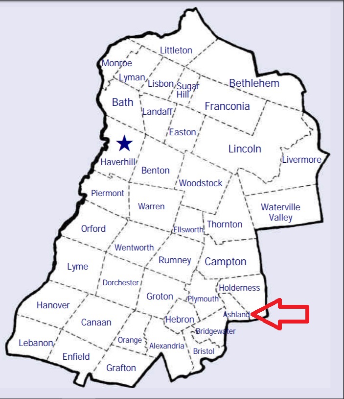
| To see a map of all sites click here. |
| A10-001 Baker, Harrold Avery Road, USGS Holderness Quadrangle, E28838, N484104, Zone 19 (43° 41' 38.97"N, 71° 37' 33.37"W), (GPS: 43.6942286°N, 71.6254545°W), Source: Bob Hicks, 1997, updated: Webmaster 2024 MAP |
| A10-002 Church Hill, off North Holdernes Road (Rte. 175) on Blue Sky Drive, USGS Ashland Quadrangle, E28627, N484678, Zone 19 (43° 44' 42.66"N, 71° 39' 15.73"W), (GPS: 43.7452508°N, 71.6538903°W), Source: Bob Hicks, 1997 MAP See: Find a Grave |
| ------ Clark, See: Leavitt Hill, A10-003 |
| A10-004 Eastman Tomb, Hicks Hill Road, USGS Ashland Quadrangle, E28785, N484533, Zone 19 (43° 43' 57"N, 71° 38' 3"W), Source: Bob Hicks, 1997 MAP |
| A10-005 Green Grove, Main St. (aka: DW Highway/Rte. 3), USGS Ashland Quadrangle, E28720, N484138, Zone 19 (43° 41' 49"N, 71° 38' 27"W), Source: Bob Hicks, 1997 MAP |
| A10-010 Hicks Hill Cemetery, Owl Brook Road, USGS Ashland Quadrangle, E28807, N484479, Zone 19 (43° 43' 40"N, 71° 37' 53"W), Source: Bob Hicks, 1997 MAP |
| ------ Homeland, See: Homeland, B18-002 in Bristol |
| A10-003 Leavitt Hill, Leavitt Road, USGS Holderness Quadrangle, E28962, N484312, Zone 19 (43° 42' 48"N, 71° 36' 41"W), Source: Bob Hicks, 1997 MAP Listed as: Clark Cemetery on Find a Grave |
| A10-006 Mooney, Thompson St. USGS Ashland Quadrangle, E28832, N484190, Zone 19 (43° 42' 7"N, 71° 37' 37"W), Source: Bob Nicks, 1997 MAP |
| A10-007 Owl Brook, Owl Brook Road, USGS Ashland Quadrangle, E28818, N484539, Zone 19 (43° 43' 60"N, 71° 37' 48"W), Source: Bob Hicks, 1997 MAP |
| ------ Rogers, See: Owl Brook, A10-007 |
| ------ Shaw, See: Hicks Hill Cemetery, A10-010 |
| A10-008 Thompson, Thompson St. USGS Ashland Quadrangle, E28813, N484135, Zone 19 (43° 41' 49"N, 71° 37' 45"W), Source: Bob Hicks, 1997 MAP |
| ------ Webster, See: Thompson, A10-008 |
| A10-009 Whitten, off Highland St. USGS Ashland Quadrangle, E28754, N484211, Zone 19 (43° 42' 13"N, 71° 38' 12"W), Source: Bob Hicks, 1997 MAP |
| ------ Whitten, See: Hicks Hill Cemetery, A10-010 |
Listings Copyright © 1998-2024 New Hampshire Old Graveyard Association.
All rights reserved.
Send mail to webmaster@nhoga.org with questions or comments about this web site.