| Burial Sites in Bath, New Hampshire |
|---|
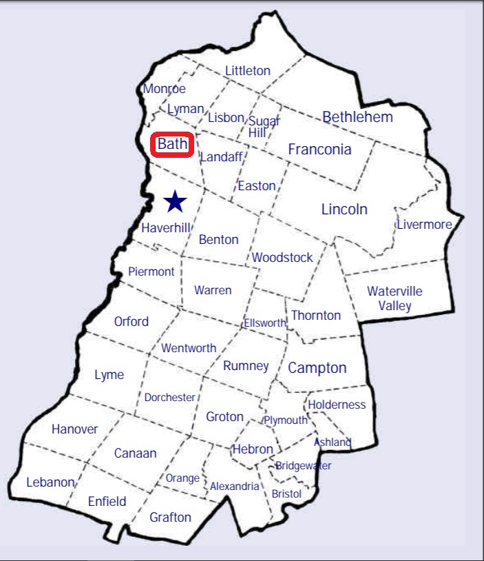
| To see a map of all sites click here. |
| B04-011 Amy/Swett, off Smith Road, USGS Woodsville Quadrangle, E73904, N490048, Zone 18 (44° 13' 13"N, 72° 0' 27"W), Also known as Upper Smith Road Cemetery Source: Bath Hist. Soc. 1994 MAP |
| B04-001 Bath Village, Route 302, USGS Lisbon Quadrangle, E26320, N489474, Zone 19 (44° 10' 10"N, 71° 57' 43"W), Source: N.H. Historical Soc. 1975 MAP |
| ------ Bedell, See: Chamberlain/Bedell, B04-010 |
| B04-003 Carbee Community Cemetery/Hamm, Route 135 (Monroe Rd.), USGS Woodsville Quadrangle, E73556, N489675, Zone 18 (44° 11' 16"N, 72° 3' 10"W), Source: Bath Historical Society 1994 MAP |
| B04-002 Carbee Family, Route 135, USGS Woodsville Quadrangle, E73608, N489500, Zone 18 (44° 10' 19"N, 72° 2' 49"W), Source: Bath Historical Soc. 1994 MAP |
| B04-007 Center Cemetery/Dark Hollow Cemetery, West Bath Road, USGS Lisbon Quadrangle, E26123, N489533, Zone 19 (44° 10' 27"N, 71° 59' 12"W), Source: N.H. Historical Soc. 1975 MAP |
| B04-010 Chamberlain/Bedell, Carbee Road, USGS Woodsville Quadrangle, E73605, N489896, Zone 18 (44° 12' 27"N, 72° 2' 44"W), Source: Bath Hist. Soc. 1994 MAP |
| ------ Dark Hollow Cemetery, See: Center Cemetery/Dark Hollow Cemetery, B04-007 |
| ------ Hamm, See: Carbee Community Cemetery/Hamm, B04-003 |
| B04-009 Old Pettyboro, off Pettyboro Road, USGS Lisbon Quadrangle, E26321, N489770, Zone 19 (44° 11' 46"N, 71° 57' 47"W), Source: Bath Hist. Soc. 1994 MAP |
| B04-004 Pettyboro, Pettyboro Road, USGS Lisbon Quadrangle, E26329, N489858, Zone 19 (44° 12' 14"N, 71° 57' 45"W), Source: N.H. Historical Soc. 1975 MAP |
| B04-005 St. Joseph's, Route 135, USGS Woodsville Quadrangle, E73572, N489593, Zone 18 (44° 10' 50"N, 72° 3' 4"W), Source: N.H. Historical Soc. 1975 MAP |
| ------ Swett, See: Amy/Swett, B04-011 |
| B04-006 Swiftwater, Goose Lane Road, USGS Lisbon Quadrangle, E26337, N489040, Zone 19 (44° 7' 50"N, 71° 57' 28"W), Source: N.H. Historical Soc. 1975 MAP |
| ------ Upper Smith Road, See: Amy/Swett, B04-011 |
| B04-008 Woods, off Clough Road, USGS Lisbon Quadrangle, E26088, N489941, Zone 19 (44° 12' 38"N, 71° 59' 35"W), Private: on property of Woods Hill Farm. Permission required to visit. Source: Bath Hist. Soc. 1994 MAP |
Listings Copyright © 1998-2024 New Hampshire Old Graveyard Association.
All rights reserved.
Send mail to webmaster@nhoga.org with questions or comments about this web site.