| Burial Sites in Benton, New Hampshire |
|---|
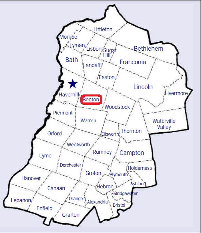
| To see a map of all sites click here. |
| B10-004 Benton Cemetery/West Cemetery, Route 116, USGS East Haverhill Quadrangle, E26787, N488713, Zone 19 (44° 6' 9"N, 71° 54' 1"W), Source: Edgar Alan Nutt 1988 MAP |
| B10-007 Brown Farmstead, off Tunnel Brook, USGS Mt. Moosilauke Quadrangle, E27235, N488424, Zone 19 (44° 4' 40"N, 71° 50' 35"W), A single gravestone, that of Olive C. Brown Source: Edgar Alan Nutt 1988 Updated: Find a Grave 2022 MAP |
| B10-005 East Cemetery, Route 116, USGS East Haverhill Quadrangle, E26910, N488666, Zone 19 (44° 5' 55"N, 71° 53' 5"W), Source: Edgar Alan Nutt 1988 MAP |
| B10-001 Ford, off Route 25 (between Oliverian Road and 25), USGS Warren Quadrangle, E26578, N487553, Zone 19 (43° 59' 51"N, 71° 55' 16"W), Source: Edgar Alan Nutt 1988 MAP |
| ------ Glencliff, See: High Street Cemetery/Glencliff Cemetery, B10-002 |
| B10-003 Graveyard, by Appalachian Trail, USGS Warren Quadrangle, E26882, N487548, Zone 19 (43° 59' 53"N, 71° 52' 60"W), Source: Geologic Survey Map MAP |
| B10-002 High Street Cemetery/Glencliff Cemetery, High Street, USGS Warren Quadrangle, E26881, N487550, Zone 19 (43° 59' 54"N, 71° 53' 0"W), Source: Edgar Alan Nutt 1988 MAP |
| B10-006 Old East Site, off Route 116, USGS East Haverhill Quadrangle, E26900, N488640, Zone 19 (44° 5' 47"N, 71° 53' 9"W), Source: Edgar Alan Nutt 1988 MAP |
| ------ Oliverian Road Cemetery, See: Ford, B10-001 |
| ------ West Cemetery, See: Benton Cemetery/West Cemetery, B10-004 |
Listings Copyright © 1998-2024 New Hampshire Old Graveyard Association.
All rights reserved.
Send mail to webmaster@nhoga.org with questions or comments about this web site.