| Burial Sites in Bethlehem, New Hampshire |
|---|
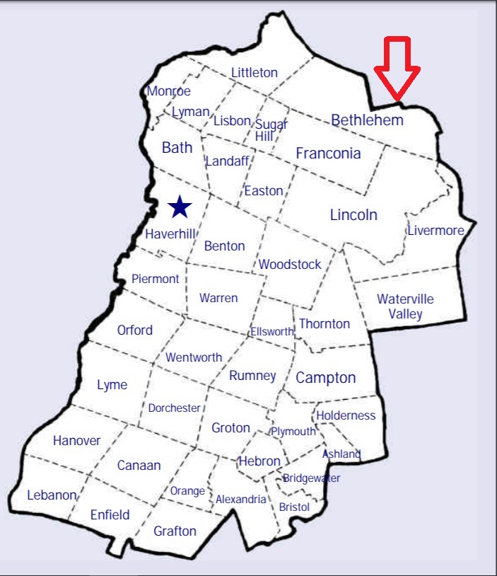
| To see a map of all sites click here. |
| B12-001 Bethlehem Cemetery/Main St. Cem., Main Street, USGS Bethlehem Quadrangle, E28494, N490633, Zone 19 (44° 16' 49"N, 71° 41' 42"W), Source: NHHS 1982 MAP |
| B12-003 Catholic Cemetery, Brook Road, USGS Bethlehem Quadrangle, E28142, N490811, Zone 19 (44° 17' 43"N, 71° 44' 23"W), Source: Town of Bethlehem 1994 MAP |
| ------ Main St. Cemetery, See: Bethlehem Cemetery/Main St. Cem., B12-001 |
| B12-002 Maple St. Cemetery, Maple Street (Rte. 142), USGS Bethlehem Quadrangle, E28576, N490690, Zone 19 (44° 17' 9"N, 71° 41' 6"W), Source: NHHS 1982 MAP |
Listings Copyright © 1998-2024 New Hampshire Old Graveyard Association.
All rights reserved.
Send mail to webmaster@nhoga.org with questions or comments about this web site.