| Burial Sites in Chester, New Hampshire |
|---|
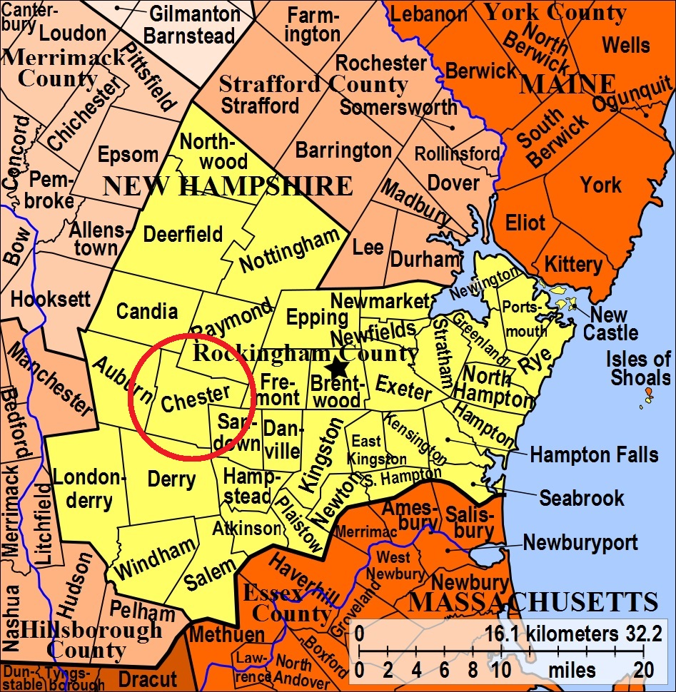
| To see a map of all sites click here. |
| C11-002 Branch or Branch Brook Cemetery, Raymond Road (Rte. 102), USGS Sandown Quadrangle, E32094, N476180, Zone 19 (42° 59' 23"N, 71° 11' 47"W), Note: This cemetery 150'x150' was established 1863. Half is in Chester and half in Raymond. The Raymond half is called Town Line, R02-019. Source: Richardson Benton 1988 MAP |
| C11-006 Graveyard, Shepard Home Road, USGS Sandown Quadrangle, E32093, N476000, Zone 19 (42° 58' 25"N, 71° 11' 45"W), Source: GS map Sandown MAP |
| C11-005 Great Hill Cemetery, Route 121A, USGS Sandown Quadrangle, E31685, N475805, Zone 19 (42° 57' 18"N, 71° 14' 43"W), Note: Cemetery is about 8 acres in active usage. Established 1941. Source: Richardson Benton 1988 MAP |
| C11-004 North Chester, Smith Road, USGS Candia Quadrangle, E31431, N476352, Zone 19 (43° 0' 13"N, 71° 16' 42"W), Note: Size is 150'x150', established 1840. Source: Richardson Benton 1988 MAP |
| C11-003 Sanborn, Fremont Road, USGS Sandown Quadrangle, E32210, N475978, Zone 19 (42° 58' 19"N, 71° 10' 53"W), Note: Size 150'x150, established 1879. Source: Richardson Benton 1988 MAP |
| C11-001 Village Cemetery, Rtes. 102 & 121, USGS Derry Quadrangle, E31594, N475831, Zone 19 (42° 57' 26"N, 71° 15' 23"W), Note: Established 1751, about 2 acres. On National Register. Source: Richardson Benton 1988 MAP |
Listings Copyright © 1998-2024 New Hampshire Old Graveyard Association.
All rights reserved.
Send mail to webmaster@nhoga.org with questions or comments about this web site.