| Burial Sites in Raymond, New Hampshire |
|---|
| Note: The sites with "red background" do not look correct on the Google maps corresponding to the lat/long coordinates for that cemetery. The problem may be either incorrect lat/long or changed street names. Please send any corrections to NHOGA Webmaster with corrected lat/longs in degrees/minutes/seconds or degrees + fractional degrees to 6 places. |
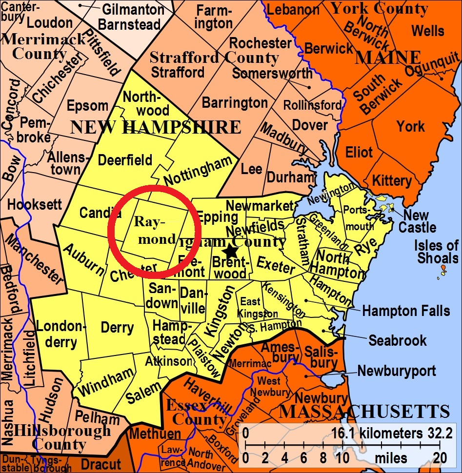
| To see a map of all sites click here. |
| R02-001 Batchelder, Gile Road, USGS Mt. Pawtuckaway Quadrangle, E32038, N476570, Zone 19 (43° 1' 29"N, 71° 12' 16"W), Source: Ruth Hoffman 1975 MAP |
| R02-002 Bean, Old Fremont Road & Main St. USGS Mt. Pawtuckaway Quadrangle, E32322, N476568, Zone 19 (43° 1' 31"N, 71° 10' 11"W), Source: Ruth Hoffman 1975 MAP |
| R02-003 Brown, 55 Prescott Road: Located behind Rockingham Community Action (Jeddidiah Brown Homestead). There are 2 graves. USGS Mt. Pawtuckaway Quadrangle, E32443, N476535, Zone 19 (43° 1' 21"N, 71° 9' 17"W), Source: Ruth Hoffman 1975, Updated 2018 MAP |
| R02-004 Dearborn, Harriman Hill Road, USGS Mt. Pawtuckaway Quadrangle, E32445, N476872, Zone 19 (43° 3' 10"N, 71° 9' 20"W), Source: Ruth Hoffman 1975, Updated 2018 MAP |
| R02-005 Dudley, Dudley Road, USGS Mt. Pawtuckaway Quadrangle, E31839, N477003, Zone 19 (43° 3' 47"N, 71° 13' 49"W), Source: Ruth Hoffman 1975 MAP |
| R02-006 Green Road, Green Road, USGS Mt. Pawtuckaway Quadrangle, E31742, N476582, Zone 19 (43° 1' 30"N, 71° 14' 27"W), Source: Ruth Hoffman 1975 MAP |
| R02-007 Ham Road Cemetery, Ham Road, USGS Mt. Pawtuckaway Quadrangle, E32536, N476759, Zone 19 (43° 2' 34"N, 71° 8' 38"W), Source: Ruth Hoffman 1975 MAP |
| R02-008 Holman, off Old Mtn. Road, USGS Mt. Pawtuckaway Quadrangle, E32354, N477030, Zone 19 (43° 4' 1"N, 71° 10' 2"W), Source: Ruth Hoffman 1975 MAP |
| R02-009 Lane, Lane Road, USGS Mt. Pawtuckaway Quadrangle, E31721, N476419, Zone 19 (43° 0' 37"N, 71° 14' 34"W), Source: Ruth Hoffman 1975 MAP |
| R02-010 Launier Farm, Nottingham Road (Rte. 156), USGS Mt. Pawtuckaway Quadrangle, E32483, N476938, Zone 19 (43° 3' 32"N, 71° 9' 4"W), Source: Ruth Hoffman 1975 MAP |
| R02-011 Lovering, Chester Road (Rte. 102), USGS Mt. Pawtuckaway Quadrangle, E32307, N476362, Zone 19 (43° 0' 24"N, 71° 10' 15"W), Source: Ruth Hoffman 1975 MAP |
| R02-012 Moulton, Main Street, USGS Mt. Pawtuckaway Quadrangle, E32240, N476659, Zone 19 (43° 1' 59"N, 71° 10' 48"W), Source: Ruth Hoffman 1975 MAP |
| R02-014 New Pine Grove Cemetery, Epping Street, USGS Mt. Pawtuckaway Quadrangle, E32290, N476741, Zone 19 (43° 2' 26"N, 71° 10' 27"W), Source: Ruth Hoffman 1975 - Updated: 2018 MAP |
| R02-013 Oak Hill, off Mountain Road, USGS Mt. Pawtuckaway Quadrangle, E32335, N477011, Zone 19 (43° 3' 54"N, 71° 10' 10"W), Source: Ruth Hoffman 1975 MAP |
| R02-015 Old Pine Grove, Epping Street, USGS Mt. Pawtuckaway Quadrangle, E32268, N476733, Zone 19 (43° 2' 24"N, 71° 10' 36"W), Source: Ruth Hoffman 1975 MAP |
| R02-016 Prescott, Prescott Road, USGS Mt. Pawtuckaway Quadrangle, E32458, N476568, Zone 19 (43° 1' 32"N, 71° 9' 11"W), Source: Ruth Hoffman 1975 MAP |
| R02-017 Prevere, off Prevere Road, USGS Mt. Pawtuckaway Quadrangle, E32350, N476983, Zone 19 (43° 3' 45"N, 71° 10' 3"W), Source: Ruth Hoffman 1975 MAP |
| R02-018 Scribner, off Scribner Road, USGS Mt. Pawtuckaway Quadrangle, E31810, N476673, Zone 19 (43° 2' 0"N, 71° 13' 58"W), Source: Ruth Hoffman 1975 MAP |
| ------ Town Cemetery, See: Old Pine Grove, R02-015. or New Pine Grove, R02-014 |
| R02-019 Town Line, Chester Road (Rte. 102), USGS Sandown Quadrangle, E32095, N476183, Zone 19 (42° 59' 24"N, 71° 11' 47"W), Half of this cemetery, size 150'x150' is in Chester. That part of the cemetery is called Branch or Branch Brook Cemetery, C11-002. Source: Ruth Hoffman 1975 MAP |
| ------ Tucker, See: Dudley, R02-005 |
| R02-020 Tucker, Longhill Road, USGS Mt. Pawtuckaway Quadrangle, E32094, N476773, Zone 19 (43° 2' 35"N, 71° 11' 54"W), Source: Ruth Hoffman 1975 MAP |
| R02-022 Unnamed, Cilley Road. Exact location unknown. There are 2 gravestones located on the south side of Cilley Road (a discontinued road that is barely a traiI) above the road on top of a a bluff/hill. It can be seen (with much difficulty) at certain angles from the road. It is likely located on the Town of Raymond owned Lillian Cassier Memorial Forest. (Coordinates needed) Source: unknown, Added: 2018 |
| R02-021 Winter Road, Winter Road, USGS Candia Quadrangle, E31618, N476571, Zone 19 (43° 1' 26"N, 71° 15' 22"W), Source: Ruth Hoffman 1975 MAP |
Listings Copyright © 1998-2024 New Hampshire Old Graveyard Association.
All rights reserved.
Send mail to webmaster@nhoga.org with questions or comments about this web site.