| Burial Sites in Clarksville, New Hampshire |
|---|
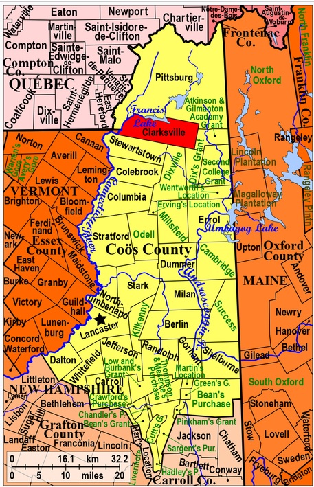
| To see a map of all sites click here. |
| C15-003 Abandoned Cemetery, near Town Line, USGS Lovering Mountain Quadrangle, E30950, N498459, Zone 19 (44° 59' 28"N, 71° 24' 60"W), (In 2007 this cemetery had a stone placed to mark its location. The original stones were destroyed during winter road maintenance.) Source: Nancy Dodge 1978, updated: familysearch.org website 2016 MAP |
| C15-004 Chappell, Route 145, (Location unknown), Private or single family Cemetery. (Coordinates needed) Source: familysearch.org website 2016 |
| C15-005 Keezer Family/Old Benjamin Young Farm/Strawberry Hill, Route 145, (Location unknown), (Coordinates needed) This is quite probably a duplicate of Young, C15-002. Source: familysearch.org website 2016 |
| C15-006 LeFebvre, Route 145, (Location unknown), (Coordinates needed) Possibly a duplicate of Young, C15-002, or a private plot within the cemetery. Source: familysearch.org website 2016 |
| ------ Old Benjamin Young Farm, See: Keezer Family/Old Benjamin Young Farm/Strawberry Hill, C15-005 |
| ------ Old Country Road Cemetery, See: Abandoned Cemetery, C15-003 |
| C15-001 Perry, West Road, USGS Pittsburg Quadrangle, E30678, N498632, Zone 19 (45° 0' 21"N, 71° 27' 6"W), Source: Nancy Dodge 1978 MAP |
| ------ Strawberry Hill, See: Keezer Family/Old Benjamin Young Farm/Strawberry Hill, C15-005 |
| C15-002 Young, Route 145, USGS Pittsburg Quadrangle, E30960, N498673, Zone 19 (45° 0' 37"N, 71° 24' 58"W), Source: Nancy Dodge 1978 MAP |
Listings Copyright © 1998-2024 New Hampshire Old Graveyard Association.
All rights reserved.
Send mail to webmaster@nhoga.org with questions or comments about this web site.