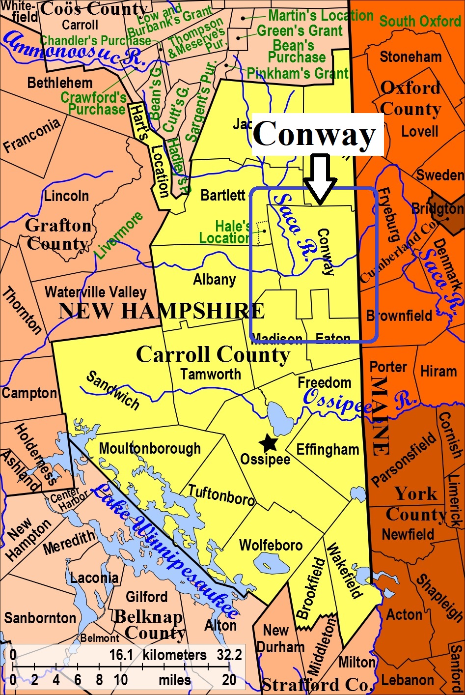
| Burial Sites in Conway, New Hampshire |
|---|
| Note: The sites with "red background" do not look correct on the Google maps corresponding to the lat/long coordinates for that cemetery. The problem may be either incorrect lat/long or changed street names. Please send any corrections to NHOGA Webmaster with corrected lat/longs in degrees/minutes/seconds or degrees + fractional degrees to 6 places. |
| To see a map of all sites click here. |
| C19-030 Banfill/Harriman, Off Allard Hill Road northwest of intersection with Modock Hill Road, USGS Conway Quadrangle, E33095, N486656, Zone 19 (43° 56' 5"N, 71° 6' 22"W), This site was reported on the Madison List as being in Conway. Source: Madison List 2016 MAP |
| C19-011 Bean, Route 302, USGS North Conway West Quadrangle, E32926, N487632, Zone 19 (44° 1' 20"N, 71° 7' 49"W), Source: Conway notes 1978 MAP |
| C19-024 Catholic Cemetery, Route 16/302, USGS North Conway East Quadrangle, E33021, N487668, Zone 19 (44° 1' 32"N, 71° 7' 7"W), Source: Town of Conway 1994 MAP |
| C19-005 Center Conway/Conway Cemetery, Route 302, USGS Conway Quadrangle, E33520, N487300, Zone 19 (43° 59' 37"N, 71° 3' 19"W), Source: Conway notes 1978 MAP |
| C19-014 Chadbourn, off Gulf Road, USGS Conway Quadrangle, E33773, N486720, Zone 19 (43° 56' 31"N, 71° 1' 19"W), Source: Conway notes 1981 MAP |
| ------ Conway Cemetery, See: Center Conway/Conway Cemetery, C19-005 |
| C19-006 Conway Village Cemetery, Route 302, USGS Conway Quadrangle, E32978, N487186, Zone 19 (43° 58' 56"N, 71° 7' 21"W), Source: Notes from Conway 1978 MAP |
| C19-015 Davis, Davis Hill Road, USGS Conway Quadrangle, E33785, N487063, Zone 19 (43° 58' 22"N, 71° 1' 17"W), Source: Notes from Conway 1981 MAP |
| C19-010 Dinsmore, N. Conway, off Route 16/302, USGS North Conway West Quadrangle, E32834, N488217, Zone 19 (44° 4' 28.35"N, 71° 8' 37.31"W), (GPS: 44.0746200°N, 71.1431700°W), Directions: Drive behind the 1785 Inn and follow the road (Balcony Seat View) to its end at a house. The cemetery is visible in the yard. Source: Notes from Conway 1978, Updated: Bartlett Cemetery List (as of Nov. 2016). MAP |
| C19-029 Dolloff, Ridge Road (near the Eaton/Conway town line), USGS Conway Quadrangle, E33210, N486555, Zone 19 (43° 55' 33.14"N, 71° 5' 29.44"W), (GPS: 43.9259700°N, 71.0910000°W), Directions: From its intersection with Route 153 in Eaton Center, drive north 1.3 miles on Ridge Road, crossing into Conway. The cemetery, consisting of about nine gravestones with no enclosure, is located about 200 feet east of the road Source: Ann Donahue, 1993, updated: Jess Davis 2020 MAP |
| C19-016 Eaton, off Brownfield Road, USGS Conway Quadrangle, E33888, N486910, Zone 19 (43° 57' 34"N, 71° 0' 29"W), Source: Notes from Conway 1981 MAP |
| C19-002 Goshen/Sterling, Gulf Road, South Conway, USGS Conway Quadrangle, E33756, N486880, Zone 19 (43° 57' 23"N, 71° 1' 28"W), Source: Notes from Conway 1978 MAP |
| C19-004 Green Hill, Route 321, USGS North Conway East Quadrangle, E33056, N488183, Zone 19 (44° 4' 19"N, 71° 6' 57"W), Source: Notes from Conway 1978 MAP |
| C19-019 Hamilton, Baird Road, USGS Conway Quadrangle, E33551, N486747, Zone 19 (43° 56' 38"N, 71° 2' 59"W), Source: Notes from Conway 1981 MAP |
| C19-020 Hatch (Calvin), Birch Hill, USGS Conway Quadrangle, E33804, N487044, Zone 19 (43° 58' 16"N, 71° 1' 9"W), Source: Notes from Conway 1981 MAP |
| C19-018 Hatch (Ephraim), Davis Hill Road, USGS Conway Quadrangle, E33637, N486546, Zone 19 (43° 55' 34"N, 71° 2' 18"W), Source: Notes from Conway 1981 MAP |
| C19-017 Hatch (Otis), Crown Hill Road, USGS Conway Quadrangle, E33752, N486582, Zone 19 (43° 55' 46"N, 71° 1' 27"W), Source: Notes from Conway 1981 MAP |
| C19-027 Kearsarge, off Route 45, USGS North Conway East Quadrangle, E33054, N488183, Zone 19 (44° 4' 19"N, 71° 6' 58"W), Source: Notes from Conway 1978 MAP |
| C19-021 Littlefield, Crown Hill Road, USGS Conway Quadrangle, E33735, N486588, Zone 19 (43° 55' 48"N, 71° 1' 35"W), Source: Notes from Conway 1981 MAP |
| C19-022 Long (Horace), Potter Road, USGS Conway Quadrangle, E33529, N486745, Zone 19 (43° 56' 37.28"N, 71° 3' 8.60"W), (GPS: 43.9437780°N, 71.0519440°W), Directions: From its intersection with Brownfield Road, drive 1.75 miles south on Potter Road to the fork towards Labrador Pond. Bear right and travel 300 feet further on Potter Road. The small split granite walled cemetery is on the left (east) side of the road. Source: Notes from Conway 1981, updated: Jess Davis 2020 MAP |
| C19-012 Lucy, Route 302, USGS North Conway West Quadrangle, E32700, N488172, Zone 19 (44° 4' 13"N, 71° 9' 37"W), Source: Notes from Conway 1978 MAP |
| C19-001 Meetinghouse Hill, Meeting House Hill Road, USGS North Conway East Quadrangle, E33262, N487433, Zone 19 (44° 0' 18"N, 71° 5' 16"W), Source: Notes from Conway 1978 MAP |
| C19-008 North Conway Cemetery, Route 16 (Rte. 302), USGS North Conway East Quadrangle, E33004, N487789, Zone 19 (44° 2' 11"N, 71° 7' 16"W), Source: Notes from No. Conway 1978 MAP |
| C19-023 Perkins, Baird Hill Road, USGS Conway Quadrangle, E33663, N486742, Zone 19 (43° 56' 37"N, 71° 2' 8"W), Source: Notes from Conway 1981 MAP |
| C19-028 Potter, Potter Road, USGS Conway Quadrangle, E33529, N486817, Zone 19 (43° 57' 1"N, 71° 3' 9"W), This is on the Eaton town boundary. Source: Notes from Conway 1981 MAP |
| C19-007 Russell, West Side Road, USGS Conway Quadrangle, E32981, N487348, Zone 19 (43° 59' 48"N, 71° 7' 21"W), Source: Notes from Conway 1978 MAP |
| C19-013 Stark Road Cemetery, Stark Road, USGS Conway Quadrangle, E33267, N486911, Zone 19 (43° 57' 29"N, 71° 5' 8"W), Source: Notes from Conway 1978 MAP |
| ------ Sterling, See: Goshen/Sterling, C19-002 |
| C19-003 Thom, Route 302, USGS Conway Quadrangle, E33876, N487359, Zone 19 (43° 59' 59"N, 71° 0' 40"W), Source: Notes from Conway 1978 MAP |
| C19-025 Unidentified, Crown Hill Road, USGS Conway Quadrangle, E33813, N486593, Zone 19 (43° 55' 50"N, 71° 0' 60"W), Some bases remain from grave markers here. Source: Notes from Conway 1981 MAP |
| C19-026 Wakefield, Brownfield Road, USGS Conway Quadrangle, E33708, N486943, Zone 19 (43° 57' 43"N, 71° 1' 51"W), Source: Notes from Conway 1981 MAP |
| C19-009 Willey, Route 16 (Rte. 302), USGS North Conway West Quadrangle, E32832, N488177, Zone 19 (44° 4' 15"N, 71° 8' 38"W), Source: Notes from Conway 1978 MAP |
Listings Copyright © 1998-2024 New Hampshire Old Graveyard Association.
All rights reserved.
Send mail to webmaster@nhoga.org with questions or comments about this web site.