| Burial Sites in Dalton, New Hampshire |
|---|
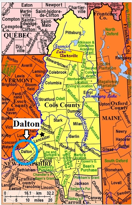
| To see a map of all sites click here. |
| D01-001 Cushman, Route 135, USGS Lancaster Quadrangle, E28231, N492008, Zone 19 (44° 24' 11.67"N, 71° 44' 1.31"W), (GPS: 44.4033400°N, 71.7332300°W), Source: Dalton notes 1988, updated: Find-a-Grave 2017 MAP |
| D01-002 Dalton Cemetery, Route 135, USGS Lancaster Quadrangle, E28643, N492204, Zone 19 (44° 25' 20"N, 71° 40' 58"W), Source: Notes from Dalton 1988 MAP |
| D01-003 Johns River Cemetery, Route 135, USGS Lancaster Quadrangle, E28704, N492240, Zone 19 (44° 25' 32"N, 71° 40' 31"W), Source: Notes from Dalton 1988 MAP |
| ------ Kelso, See: Ladd, D01-004 |
| D01-004 Ladd, Faraway Road, USGS Lancaster Quadrangle, E29017, N491775, Zone 19 (44° 23' 5"N, 71° 38' 3"W), Formerly named for Kelso school distirct. Source: Notes from Dalton 1988 Updated: Terri Parks 2021 MAP |
| D01-005 St. Matthews, Elm Street, USGS Lancaster Quadrangle, E29149, N491744, Zone 19 (44° 22' 56"N, 71° 37' 3"W), Part is in Whitefield. Source: map MAP |
Listings Copyright © 1998-2024 New Hampshire Old Graveyard Association.
All rights reserved.
Send mail to webmaster@nhoga.org with questions or comments about this web site.