| Burial Sites in Deering, New Hampshire |
|---|
| Note: The sites with "red background" do not look correct on the Google maps corresponding to the lat/long coordinates for that cemetery. The problem may be either incorrect lat/long or changed street names. Please send any corrections to NHOGA Webmaster with corrected lat/longs in degrees/minutes/seconds or degrees + fractional degrees to 6 places. |
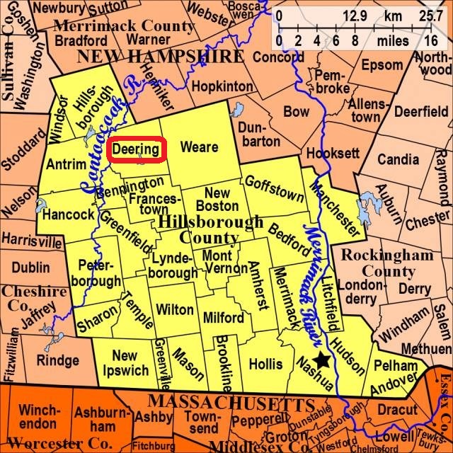
| To see a map of all sites click here. |
| D05-004 Appleton, On Deering Center Rd. (Rte. 149) at Manselville Road, USGS Hillsboro Quadrangle, E26510, N477611, Zone 19 (43° 6' 11.68"N, 71° 53' 11.71"W), (GPS: 43.1032990°N, 71.8861070°W), Note: Only 1 tiny spot to pull off the road-posted coordinates. No vehicle travel allowed within. Source: Marjorie Heath 1978, updated: Sandy Sliviak 2016 MAP |
| D05-011 Bartlett, East Deering Road, USGS Deering Quadrangle, E27173, N477543, Zone 19 (43° 5' 57"N, 71° 48' 18"W), Source: Marjorie Heath 1978 MAP |
| D05-010 Butler, Route 149, USGS Hillsboro Quadrangle, E26489, N477629, Zone 19 (43° 6' 17"N, 71° 53' 21"W), Source: Marjorie Heath 1978 MAP |
| D05-002 East Deering, East Deering Road, USGS Deering Quadrangle, E27108, N477252, Zone 19 (43° 4' 22"N, 71° 48' 42"W), Source: Marjorie Heath 1978 MAP |
| D05-005 Goodale, Driscoll Hill Road, USGS Deering Quadrangle, E27032, N477298, Zone 19 (43° 4' 36.09"N, 71° 49' 16.41"W), (GPS: 43.0767300°N, 71.8207900°W), Source: Marjorie Heath 1988, updated: Sandy Sliviak and Find-a-Grave 2016 MAP |
| D05-008 Goodale, Reservoir Road, USGS Deering Quadrangle, E26870, N477188, Zone 19 (43° 3' 59"N, 71° 50' 26"W), Source: Marjorie Heath 1988 MAP |
| D05-006 Gove Cemetery/Old Rev. Cemetery, Wolf Hill Road, USGS Deering Quadrangle, E26707, N477366, Zone 19 (43° 4' 55"N, 71° 51' 41"W), Source: Marjorie Heath 1978 MAP |
| D05-009 Hill Cemetery, North Road, USGS Deering Quadrangle, E27000, N477606, Zone 19 (43° 6' 15"N, 71° 49' 35"W), Source: Marjorie Heath 1978 MAP |
| ------ Old Rev. Cemetery, See: Gove Cemetery/Old Rev. Cemetery, D05-006 |
| D05-003 Patten, wood road, USGS Deering Quadrangle, E26881, N477488, Zone 19 (43° 5' 36"N, 71° 50' 26"W), Source: Marjorie Heath 1978 MAP |
| D05-012 Poling, Wolf Hill Road, USGS Deering Quadrangle, E26708, N477379, Zone 19 (43° 4' 59"N, 71° 51' 41"W), Source: Marjorie Heath 1978 MAP |
| D05-007 West Cemetery, 2nd NH Turnpike, USGS Hillsboro Quadrangle, E26378, N477100, Zone 19 (43° 3' 25"N, 71° 54' 2"W), Source: Marjorie Heath 1978 MAP |
| D05-001 Wilkins, Old County Road, USGS Deering Quadrangle, E26692, N477047, Zone 19 (43° 3' 11"N, 71° 51' 43"W), Source: Marjorie Heath 1978 MAP |
Listings Copyright © 1998-2024 New Hampshire Old Graveyard Association.
All rights reserved.
Send mail to webmaster@nhoga.org with questions or comments about this web site.