| Burial Sites in Dorchester, New Hampshire |
|---|
| Note: The sites with "red background" do not look correct on the Google maps corresponding to the lat/long coordinates for that cemetery. The problem may be either incorrect lat/long or changed street names. Please send any corrections to NHOGA Webmaster with corrected lat/longs in degrees/minutes/seconds or degrees + fractional degrees to 6 places. |
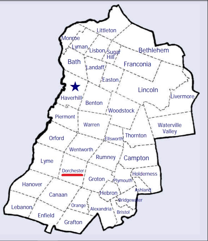
| To see a map of all sites click here. |
| ------ Big Pasture, See: King/Big Pasture, D09-006 |
| ------ Blaisdell (Canaan), See: Blaisdell/Sanborn, C03-XXX in Canaan |
| D09-008 Blake, off Bob Porter Road, USGS Canaan Quadrangle, E74051, N484628, Zone 18 (43° 43' 57"N, 72° 0' 49"W), Source: Nella Ashley 1988 MAP |
| D09-001 Blodgett, Jake's Turn, USGS Wentworth Quadrangle, E26154, N484992, Zone 19 (43° 45' 57"N, 71° 57' 45"W), Source: Nella Ashley 1988 MAP |
| D09-002 Cheever, Hearse House Road, USGS Wentworth Quadrangle, E26494, N485372, Zone 19 (43° 48' 4"N, 71° 55' 19"W), Source: Nella Ashley 1988 MAP |
| D09-005 Dorchester Cemetery/Wright, Route 118, USGS Mt. Cardigan Quadrangle, E26256, N484674, Zone 19 (43° 44' 15"N, 71° 56' 54"W), Source: Nella Ashley 1988 MAP |
| D09-009 Graham, off Bob Porter Road, USGS Canaan Quadrangle, E73946, N484762, Zone 18 (43° 44' 42"N, 72° 1' 34"W), Source: Nella Ashley 1988 MAP |
| ------ Kimball Hill, See: White/Kimball Hill, D09-013 |
| D09-006 King/Big Pasture, Province Road, USGS Mt. Cardigan Quadrangle, E26053, N484617, Zone 19 (43° 43' 55"N, 71° 58' 24"W), Source: Nella Ashley 1988 MAP |
| D09-011 Norris, off Cummins Road, USGS Smarts Mountain Quadrangle, E74016, N485132, Zone 18 (43° 46' 40"N, 72° 0' 57"W), Source: Nella Ashley 1988 MAP |
| D09-012 Norris Hill Rd. Cemetery, Norris Hill Road, USGS Wentworth Quadrangle, E26058, N485339, Zone 19 (43° 47' 48"N, 71° 58' 33"W), Source: Nella Ashley 1988 MAP |
| D09-003 North Dorchester, off North Dorchester Road, USGS Wentworth Quadrangle, E26085, N485410, Zone 19 (43° 48' 12"N, 71° 58' 23"W), Source: Nella Ashley 1988 MAP |
| D09-010 Pollard, in the woods above Clark Pond, USGS Canaan Quadrangle, E73737, N484680, Zone 18 (43° 44' 17"N, 72° 3' 9"W), Source: Nella Ashley 1988 MAP |
| D09-014 Sanborn, off Thompson Hill Road, USGS Wentworth Quadrangle, E25906, N484894, Zone 19 (43° 45' 23"N, 71° 59' 34"W), Source: Nella Ashley 1988 MAP |
| D09-007 See-It-All, on Jeep trail, USGS Mt. Cardigan Quadrangle, E26014, N484494, Zone 19 (43° 43' 14"N, 71° 58' 40"W), Source: Nella Ashley 1988 MAP |
| D09-015 Stephens, Cummins Pond Road, USGS Wentworth Quadrangle, E26004, N485097, Zone 19 (43° 46' 29"N, 71° 58' 54"W), Source: Nella Ashley 1988 MAP |
| D09-004 Town House, Dorchester Center, USGS Wentworth Quadrangle, E26256, N484890, Zone 19 (43° 45' 25"N, 71° 56' 58"W), Source: Nella Ashley 1988 MAP |
| D09-013 White/Kimball Hill, Kimball Hill Road, USGS Mt. Cardigan Quadrangle, E26317, N484538, Zone 19 (43° 43' 32"N, 71° 56' 25"W), Source: Nella Ashley 1988 MAP |
| ------ Wright, See: Dorchester Cemetery/Wright, D09-005 |
Listings Copyright © 1998-2024 New Hampshire Old Graveyard Association.
All rights reserved.
Send mail to webmaster@nhoga.org with questions or comments about this web site.