| Burial Sites in Dunbarton, New Hampshire |
|---|
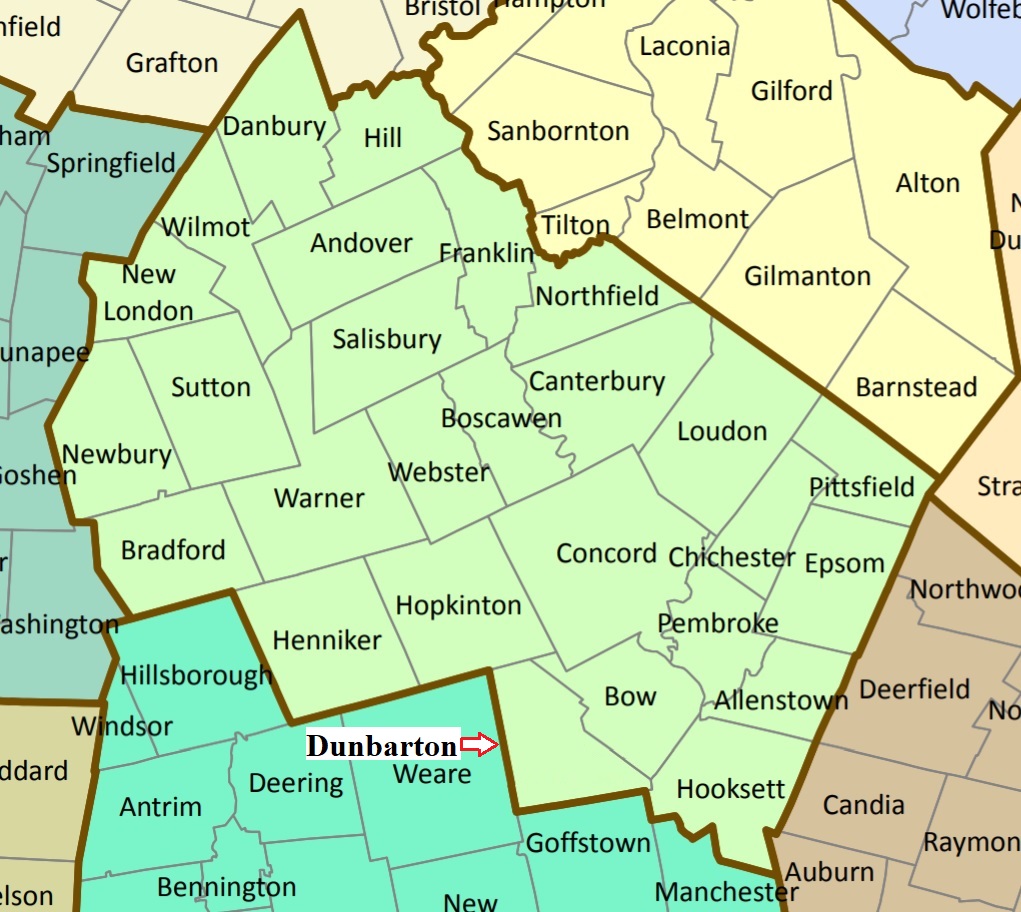
| To see a map of all sites click here. |
| D13-001 Dunbarton Centre, Route 13, USGS Goffstown Quadrangle, E28700, N477547, Zone 19 (43° 6' 14"N, 71° 37' 3"W), Source: Judy Keefe 1988 MAP |
| D13-002 East Dunbarton, Rogers Road, USGS Goffstown Quadrangle, E29131, N477527, Zone 19 (43° 6' 12"N, 71° 33' 52"W), Source: Judy Keefe 1988 MAP |
| ------ North Dunbarton, See: Page's Corner/North Dunbarton, D13-003 |
| D13-003 Page's Corner/North Dunbarton, Route 13, USGS Hopkinton Quadrangle, E28626, N478031, Zone 19 (43° 8' 50"N, 71° 37' 42"W), Source: Judy Keefe 1988 MAP |
| D13-004 Stark, Mansion Road, USGS Weare Quadrangle, E28525, N477684, Zone 19 (43° 6' 57"N, 71° 38' 22"W), Source: Judy Keefe 1988 MAP |
Listings Copyright © 1998-2024 New Hampshire Old Graveyard Association.
All rights reserved.
Send mail to webmaster@nhoga.org with questions or comments about this web site.