| Burial Sites in Ellsworth, New Hampshire |
|---|
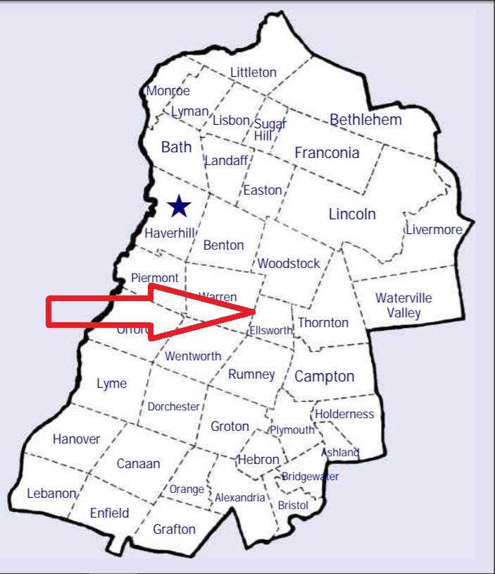
| To see a map of all sites click here. |
| E05-001 Avery, Ellsworth Pond Road, USGS Mount Kineo Quadrangle, E27897, N486207, Zone 19 (43° 52' 50"N, 71° 45' 4"W), Source: Norton Bagley 1988 MAP |
| E05-003 Baptist/Downing, Stinson Lake Rd. (Ellsworth Hill Rd.), USGS Plymouth Quadrangle, E27960, N486131, Zone 19 (43° 52' 26"N, 71° 44' 35"W), Source: Norton Bagley 1988 MAP |
| E05-004 Blake, Stinson Lake Road, USGS Mount Kineo Quadrangle, E27527, N486243, Zone 19 (43° 52' 58"N, 71° 47' 51"W), Source: Norton Bagley 1988 MAP |
| E05-006 Buzzell, off Buzzell Valley Road, USGS Mount Kineo Quadrangle, E27726, N486468, Zone 19 (43° 54' 13"N, 71° 46' 25"W), Source: Norton Bagley 1988 MAP |
| ------ Downing, See: Baptist/Downing, E05-003 |
| E05-002 Pease, Stinson Road (Ellsworth Hill Rd.), USGS Plymouth Quadrangle, E28000, N486133, Zone 19 (43° 52' 27"N, 71° 44' 17"W), Source: Norton Bagley 1988 MAP |
| E05-005 Shore, off Buzzell Valley Road, USGS Mount Kineo Quadrangle, E27833, N486440, Zone 19 (43° 54' 5"N, 71° 45' 37"W), Source: Norton Bagley 1988 MAP |
Listings Copyright © 1998-2024 New Hampshire Old Graveyard Association.
All rights reserved.
Send mail to webmaster@nhoga.org with questions or comments about this web site.