| Burial Sites in Francestown, New Hampshire |
|---|
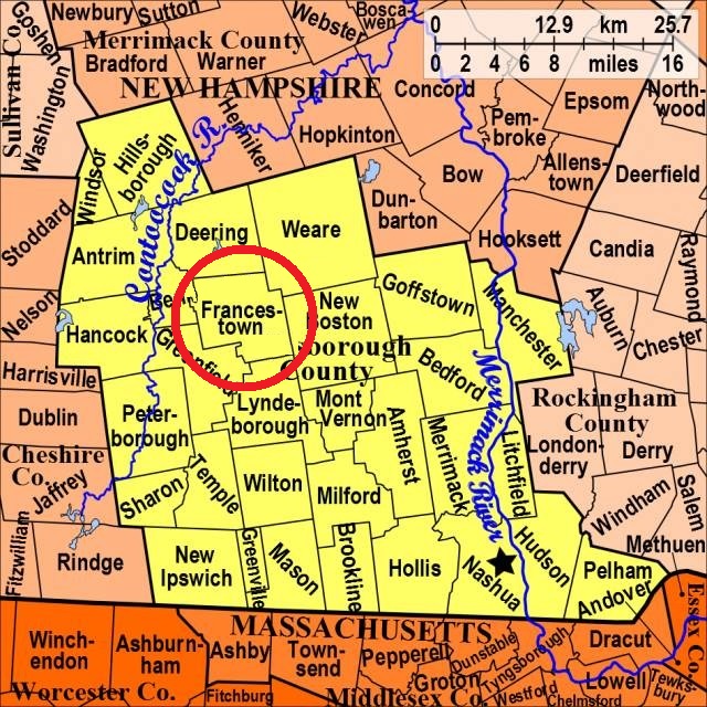
| To see a map of all sites click here. |
| ------ Felch, See: Thompson, F03-005 |
| F03-002 New Boston Rd. Cemetery, New Boston Rd. (Rte. 136), USGS Greenfield Quadrangle, E27113, N476281, Zone 19 (42° 59' 8"N, 71° 48' 26"W), Source: O.A. Thulander 1994 MAP |
| F03-003 New Cemetery, Milford Road (Second NH Turnpike), USGS Greenfield Quadrangle, E27187, N476193, Zone 19 (42° 58' 40"N, 71° 47' 52"W), Source: O.A. Thulander 1994 MAP |
| F03-001 Old Cemetery, Route 47, USGS Greenfield Quadrangle, E27067, N476308, Zone 19 (42° 59' 16"N, 71° 48' 46"W), Source: O.A. Thulander 1994 MAP |
| F03-004 Sleeper, off Poor Farm Rd. (on private land), USGS Deering Quadrangle, E27174, N476790, Zone 19 (43° 1' 53"N, 71° 48' 6"W), Source: O.A. Thulander 1994 MAP |
| F03-005 Thompson, off Mountain Rd. (on private land), USGS Deering Quadrangle, E26683, N476521, Zone 19 (43° 0' 21"N, 71° 51' 39"W), Source: O.A. Thulander 1994, updated: Find a Grave 2022 MAP |
Listings Copyright © 1998-2024 New Hampshire Old Graveyard Association.
All rights reserved.
Send mail to webmaster@nhoga.org with questions or comments about this web site.