| Burial Sites in Franklin, New Hampshire |
|---|
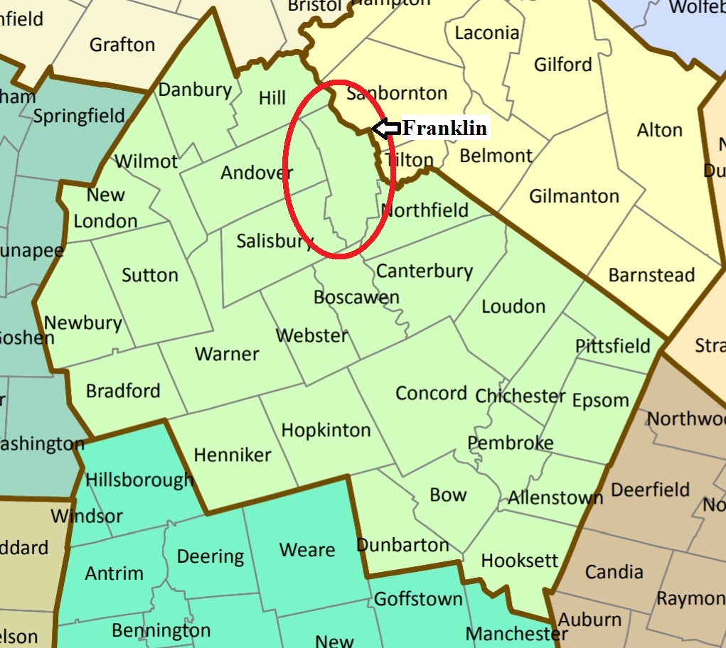
| To see a map of all sites click here. |
| ------ Burleigh, See: Morrison/Burleigh/French, F05-003 |
| ------ Call, See: Simonds/Call, F05-007 |
| F05-001 Franklin Cemetery, Central St. (Routes 3 & 11), USGS Franklin Quadrangle, E28520, N481321, Zone 19 (43° 26' 35"N, 71° 39' 16"W), Source: Notes from Franklin 1989 MAP |
| ------ French, See: Morrison/Burleigh/French, F05-003 |
| F05-002 Holy Cross, Lawndale Road, USGS Franklin Quadrangle, E28417, N481455, Zone 19 (43° 27' 17"N, 71° 40' 3"W), Source: Notes from Franklin 1989 MAP |
| F05-003 Morrison/Burleigh/French, New Hampton Road (Route 127) south of New Boston Road, USGS Franklin Quadrangle, E28563, N481738, Zone 19 (43° 28' 50.01"N, 71° 39' 2.38"W), (GPS: 43.4806324°N, 71.6501794°W), Source: Notes from Franklin 1989 MAP |
| F05-011 New Boston Cemetery, New Boston Road, USGS Franklin Quadrangle, E28668, N481796, Zone 19 (43° 29' 9.87"N, 71° 38' 16.51"W), (GPS: 43.4861496°N, 71.6374367°W), Well off the north side of New Boston Road. Not visible from the road. This is actually two small adjacent cemeteries, one dating from the early 19th century, and a modern family cemetery that is still active. Source: Notes from Franklin 1989 MAP |
| ------ Rand, See: Sanborn/Rand, F05-005 |
| F05-004 Sanborn, Sanborn Street, USGS Franklin Quadrangle, E28626, N481368, Zone 19 (43° 26' 51"N, 71° 38' 29"W), Source: Notes from Franklin 1989 MAP |
| F05-005 Sanborn/Rand, Sanborn Street, USGS Franklin Quadrangle, E28700, N481478, Zone 19 (43° 27' 27"N, 71° 37' 58"W), Source: Notes from Franlkin 1989 MAP |
| F05-006 Shaw, Shaw Corner Road, USGS Franklin Quadrangle, E28222, N480962, Zone 19 (43° 24' 35"N, 71° 41' 23"W), Source: Notes from Franklin 1989 MAP |
| ------ Shaw's Corner, See: Shaw, F05-006 |
| F05-007 Simonds/Call, Route 3A, USGS Franklin Quadrangle, E28461, N481842, Zone 19 (43° 29' 23"N, 71° 39' 49"W), Source: Notes from Franklin 1989 MAP |
| F05-008 Ward Hill Cemetery, Ward Hill Road, USGS Franklin Quadrangle, E28657, N481584, Zone 19 (43° 28' 1"N, 71° 38' 18"W), Source: Notes from Franklin 1989 MAP |
| F05-009 Webster Lake Cemetery, near Webster Lake, USGS Franklin Quadrangle, E28151, N481664, Zone 19 (43° 28' 22"N, 71° 42' 5"W), Source: Notes from Franklin 1989 MAP |
| F05-010 Webster Place Cemetery, off Route 3, USGS Franklin Quadrangle, E28561, N480900, Zone 19 (43° 24' 19"N, 71° 38' 51"W), Source: Notes from Franklin 1989 MAP |
Listings Copyright © 1998-2024 New Hampshire Old Graveyard Association.
All rights reserved.
Send mail to webmaster@nhoga.org with questions or comments about this web site.