| Burial Sites in Freedom, New Hampshire |
|---|
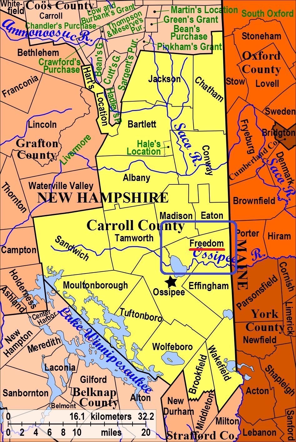
| To see a map of all sites click here. |
| F06-019 Allard, South side of Towle Hill Road, 0.55 miles west of Young's Road. (GS map incorrectly shows "Toll Hill Rd."), USGS Freedom Quadrangle, E33533, N485814, Zone 19 (43° 51' 35.74"N, 71° 2' 56.45"W), (GPS: 43.8599600°N, 71.0485000°W), Directions: From its intersection with Young's Hill Road, drive west 0.55 miles on Cold Brook Road/Towle Hill Road to a conservation entrance on the left (south) side. Follow the skidder trail 200 yards southeast. Two stone-walled cemeteries are straight ahead when the road turns to the left (east). Allard Cemetery is on the right (west). (Site was originally listed in Eaton. Note: Access to this site is from the Eaton side only.) Source: Jess Davis, 2020 MAP |
| F06-001 Andrews, Cushing Corner Road, USGS Freedom Quadrangle, E33576, N485340, Zone 19 (43° 49' 3"N, 71° 2' 32"W), Source: Freedom Hist. Soc. 1988 MAP |
| ------ Bradbury, See: Parsons, F06-002 |
| ------ Chase, See: Parsons, F06-002 |
| F06-003 Cushing's Corner, Cushing Corner Road, USGS Freedom Quadrangle, E33496, N485412, Zone 19 (43° 49' 25"N, 71° 3' 9"W), Source: Freedom Hist. Soc. 1988 MAP |
| F06-004 Drew, Cold Brook Road, USGS Freedom Quadrangle, E33659, N485821, Zone 19 (43° 51' 39"N, 71° 2' 0"W), Source: Freedom Hist. Soc. 1988 MAP |
| F06-005 Foss, Scarboro Road, USGS Freedom Quadrangle, E33854, N485493, Zone 19 (43° 49' 54"N, 71° 0' 29"W), Source: Freedom Hist. Soc. 1988 MAP |
| F06-006 Fowler, off Scarboro Road, USGS Freedom Quadrangle, E33744, N485374, Zone 19 (43° 49' 15"N, 71° 1' 17"W), Source: Freedom Hist. Soc. 1988 MAP |
| F06-007 Judkins (Daniel), Route 153, USGS Freedom Quadrangle, E33362, N485300, Zone 19 (43° 48' 48"N, 71° 4' 7"W), Source: Freedom Hist. Soc. 1988 MAP |
| F06-008 Lakeview, Old Portland Road, USGS Freedom Quadrangle, E33693, N485253, Zone 19 (43° 48' 35"N, 71° 1' 39"W), Source: Freedom Hist. Soc. 1988 MAP |
| F06-009 Libby, Rice Hill Road, USGS Kezar Falls Quadrangle, E33968, N485656, Zone 19 (43° 50' 48"N, 70° 59' 40"W), Source: Freedom Hist. Soc. 1988 MAP |
| F06-010 Lord, Route 153, USGS Freedom Quadrangle, E33194, N485721, Zone 19 (43° 51' 3"N, 71° 5' 27"W), Source: Freedom Hist. Soc. 1988 MAP |
| F06-011 Meserve, Scarboro Road, USGS Freedom Quadrangle, E33813, N485443, Zone 19 (43° 49' 38"N, 71° 0' 47"W), Source: Freedom Hist. Soc. 1988 MAP |
| F06-012 Moulton, Moulton Road, USGS Freedom Quadrangle, E33635, N485444, Zone 19 (43° 49' 37"N, 71° 2' 7"W), Source: Freedom Hist. Soc. 1988 MAP |
| F06-002 Parsons, Route 153, USGS Freedom Quadrangle, E33438, N485144, Zone 19 (43° 47' 58"N, 71° 3' 32"W), Source: Freedom Hist. Soc. 1988 MAP |
| F06-013 Sargent, Rice Hill Road, USGS Kezar Falls Quadrangle, E33966, N485678, Zone 19 (43° 50' 55"N, 70° 59' 41"W), Source: Freedom Hist. Soc. 1988 MAP |
| F06-018 Smart, South side of Towle Hill Road, 0.55 miles west of Young's Road, USGS Freedom Quadrangle, E33535, N485813, Zone 19 (43° 51' 35.43"N, 71° 2' 55.54"W), (GPS: 43.8598700°N, 71.0483200°W), Directions: From its intersection with Young's Hill Road, drive west 0.55 miles on Cold Brook Road/Towle Hill Road to a conservation entrance on the left (south) side. Follow the skidder trail 200 yards southeast. Two stone-walled cemeteries are straight ahead when the road turns to the left (east). Smart Cemetery is on the left (east). Study of Eaton found this site over the boundary in Freedom although access is from the Eaton side only Source: Ann Donahue, Eaton, 1992, updated: Jess Davis 2020 MAP |
| F06-014 Smith, Route 153, USGS Freedom Quadrangle, E33178, N485674, Zone 19 (43° 50' 48"N, 71° 5' 34"W), Source: Freedom Hist. Soc. 1988 MAP |
| F06-015 Swett Hill, Rice Hill Road, USGS Freedom Quadrangle, E33774, N485750, Zone 19 (43° 51' 17"N, 71° 1' 8"W), Source: Freedom Hist. Soc. 1988 MAP |
| F06-016 Thurston, Burnham Road, USGS Freedom Quadrangle, E33403, N485588, Zone 19 (43° 50' 21"N, 71° 3' 52"W), Source: Freedom Hist. Soc. 1988 MAP |
| F06-017 Towle, off Moulton Road, USGS Freedom Quadrangle, E33624, N485304, Zone 19 (43° 48' 51"N, 71° 2' 10"W), Source: Freedom Hist. Soc. 1988 MAP |
Listings Copyright © 1998-2024 New Hampshire Old Graveyard Association.
All rights reserved.
Send mail to webmaster@nhoga.org with questions or comments about this web site.