| Burial Sites in Gilford, New Hampshire |
|---|
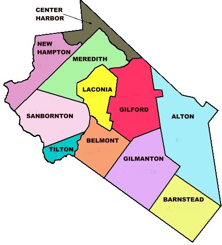
| To see a map of all sites click here. |
| G01-001 Ames, Route 11, USGS West Alton Quadrangle, E31130, N482596, Zone 19 (43° 33' 53"N, 71° 20' 11"W), Source: Eaton Text 1950 MAP |
| G01-016 Bean, off Route 11, USGS West Alton Quadrangle, E30970, N482688, Zone 19 (43° 34' 21"N, 71° 21' 24"W), Source: Eaton text 1950 MAP |
| G01-002 Buzzell, Route 11A, USGS West Alton Quadrangle, E31050, N482230, Zone 19 (43° 31' 54"N, 71° 20' 42"W), Source: Eaton text 1950 MAP |
| G01-003 Carr, Route 11, USGS West Alton Quadrangle, E31030, N482670, Zone 19 (43° 34' 16"N, 71° 20' 57"W), Source: Eaton text 1950 MAP |
| G01-004 Collins, Liberty Hill Road, USGS Laconia Quadrangle, E30294, N482197, Zone 19 (43° 31' 36"N, 71° 26' 19"W), Source: Eaton Text 1950 MAP |
| ------ Crosby, See: Collins, G01-004 |
| G01-006 Davis, on Governor's Island, off Edgewater Dr. USGS Laconia Quadrangle, E30421, N483069, Zone 19 (43° 36' 19"N, 71° 25' 33"W), Source: Eaton text 1950 MAP |
| ------ Gilford Cemetery, See: Davis, G01-006 |
| G01-005 Grant, Route 11A, USGS West Alton Quadrangle, E31095, N482187, Zone 19 (43° 31' 40"N, 71° 20' 22"W), Source: Eaton text 1950 MAP |
| G01-007 Hoyt, Hoyt Road, USGS Laconia Quadrangle, E30542, N482207, Zone 19 (43° 31' 41"N, 71° 24' 28"W), Source: Eaton text 1950 MAP |
| G01-008 James, off Cotton Hill Road, USGS Laconia Quadrangle, E30283, N482044, Zone 19 (43° 30' 46"N, 71° 26' 21"W), Source: Eaton text 1950 MAP |
| G01-009 Lamphrey, Glidden Road (on the Alton town line), USGS West Alton Quadrangle, E31249, N482115, Zone 19 (43° 31' 18"N, 71° 19' 12"W), Source: Eaton Text 1950 MAP |
| G01-010 Liberty Hill, off Swain Road, USGS Laconia Quadrangle, E30363, N482044, Zone 19 (43° 30' 47"N, 71° 25' 46"W), Source: Eaton text 1950 MAP |
| G01-011 Martin, Glidden Road, USGS West Alton Quadrangle, E31231, N482139, Zone 19 (43° 31' 26"N, 71° 19' 21"W), Source: Eaton text 1950 MAP |
| G01-012 McCoy, Old Lake Shore Dr. USGS Laconia Quadrangle, E30436, N482604, Zone 19 (43° 33' 49"N, 71° 25' 21"W), This is on Old Lake Shore Drive. Source: Eaton text 1950 MAP |
| G01-013 Pine Grove, Belknap Mtn. Road, USGS Laconia Quadrangle, E30587, N482342, Zone 19 (43° 32' 26"N, 71° 24' 10"W), Source: Eaton text 1950 MAP |
| G01-014 Robinson, off Cotton Hill Road, USGS Laconia Quadrangle, E30308, N481931, Zone 19 (43° 30' 10"N, 71° 26' 9"W), Source: Eaton text 1950 MAP |
| G01-017 Scribner, off Glidden Road, USGS West Alton Quadrangle, E31186, N482133, Zone 19 (43° 31' 23"N, 71° 19' 41"W), Source: Eaton text 1950 MAP |
| G01-015 Weeks, Hoyt Road, USGS Laconia Quadrangle, E30635, N482215, Zone 19 (43° 31' 45"N, 71° 23' 47"W), Source: Eaton text 1950 MAP |
| G01-018 Wilkinson, Route 11B, USGS Laconia Quadrangle, E30406, N482932, Zone 19 (43° 35' 35"N, 71° 25' 38"W), Source: Eaton text 1950 MAP |
Listings Copyright © 1998-2024 New Hampshire Old Graveyard Association.
All rights reserved.
Send mail to webmaster@nhoga.org with questions or comments about this web site.