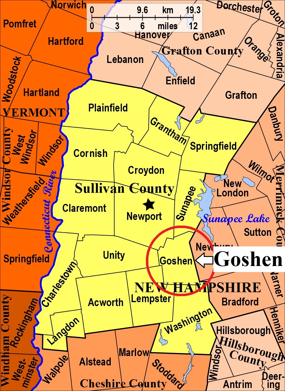


| Burial Sites in Goshen, New Hampshire |
|---|
| To see a map of all sites click here. |
| ------ Corners Cemetery, See: Goshen Corners, G06-001 |
| ------ Four Corners Cemetery, See: Goshen Corners, G06-001 |
| G06-001 Goshen Corners, end of 4-Corners Rd. off Route 31, USGS Newport Quadrangle, E73277, N479606, Zone 18 (43° 16' 59.97"N, 72° 7' 52.16"W), (GPS: 43.2833870°N, 72.1306770°W), Source: Arthur Nelson 1988, updated: Sandy Sliviak 2017 MAP |
| G06-002 Goshen Village, Rte. 10 & 31, USGS Newport Quadrangle, E73157, N479752, Zone 18 (43° 17' 49"N, 72° 8' 43"W), Source: Arthur Nelson 1988 MAP |
| G06-007 Hudson, off Center Road (at the edge of Blood Brook), USGS Newport Quadrangle, E73404, N479733, Zone 18 (43° 17' 40"N, 72° 6' 54"W), Source: Arthur Nelson 1988 MAP |
| ------ Maplewood, See: Goshen Village, G06-002 |
| G06-006 Nelson, Center Road, USGS Newport Quadrangle, E73351, N479733, Zone 18 (43° 17' 40"N, 72° 7' 17"W), Source: Arthur Nelson 1988 MAP |
| G06-003 North Goshen, Province Road, USGS Newport Quadrangle, E73506, N480107, Zone 18 (43° 19' 40"N, 72° 6' 3"W), Source: Arthur Nelson 1988 MAP |
| G06-004 Rand, off Brook Road, USGS Newport Quadrangle, E73470, N480070, Zone 18 (43° 19' 28"N, 72° 6' 20"W), Source: Arthur Nelson 1988 MAP |
| G06-005 Settlers Burial Ground, Province Road, USGS Newport Quadrangle, E73319, N480021, Zone 18 (43° 19' 14"N, 72° 7' 27"W), Source: Arthur Nelson 1988 MAP |
| ------ Village Cemetery, See: Goshen Village, G06-002 |
Listings Copyright © 1998-2024 New Hampshire Old Graveyard Association.
All rights reserved.
Send mail to webmaster@nhoga.org with questions or comments about this web site.
