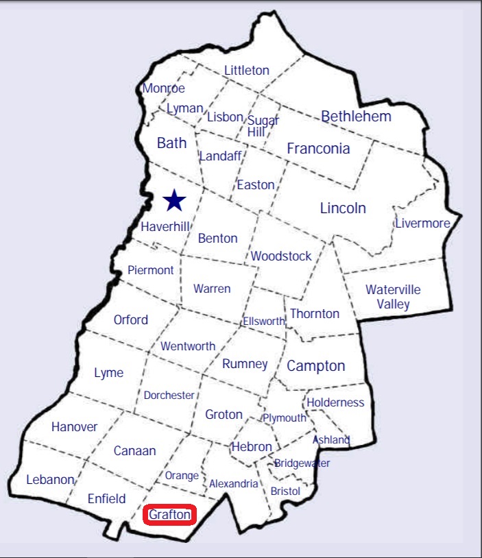
| Burial Sites in Grafton, New Hampshire |
|---|
| Note: The sites with "red background" do not look correct on the Google maps corresponding to the lat/long coordinates for that cemetery. The problem may be either incorrect lat/long or changed street names. Please send any corrections to NHOGA Webmaster with corrected lat/longs in degrees/minutes/seconds or degrees + fractional degrees to 6 places. |
| To see a map of all sites click here. |
| G07-009 Barney, Sargent Hill Road, USGS Grafton Quadrangle, E26305, N482693, Zone 19 (43° 33' 35"N, 71° 56' 1"W), Not maintained by town Source: Town of Grafton 1994 MAP |
| ------ Barney, See: Smith/Barney, G07-010 |
| ------ Blood, See: Little, G07-013 |
| ------ Cooper Street Cemetery, See: Huntley, G07-007 |
| ------ Davis, See: Ford/Davis, G07-001 |
| G07-002 East Grafton, Wild Meadow Road, USGS Grafton Quadrangle, E26350, N482722, Zone 19 (43° 33' 45"N, 71° 55' 42"W), Source: Town of Grafton 1994 MAP |
| G07-001 Ford/Davis, Route 4, USGS Grafton Quadrangle, E26449, N482722, Zone 19 (43° 33' 46"N, 71° 54' 58"W), Source: Town of Grafton 1994 MAP |
| ------ Giles, See: Huntley, G07-007 |
| G07-006 Grafton Center, Route 4, USGS Grafton Quadrangle, E25975, N482890, Zone 19 (43° 34' 35"N, 71° 58' 31"W), Source: Town of Grafton 1994 MAP |
| G07-014 Grave, Prescott Hill Road, USGS Grafton Quadrangle, E25940, N482449, Zone 19 (43° 32' 11"N, 71° 58' 40"W), Note: On Google Maps Prescott Hill Road is designated as Kinsman Highway. Source: On map near Prescott Hill Cem. MAP |
| G07-008 Hardy Hill Cemetery, Hardy Hill Road, USGS Enfield Center Quadrangle, E73851, N482591, Zone 18 (43° 32' 60"N, 72° 2' 51"W), Source: Town of Grafton 1994 MAP |
| G07-007 Huntley, Intersection of Kinsman Highway and Grafton Pond Road, USGS Enfield Center Quadrangle, E73832, N482809, Zone 18 (43° 34' 11"N, 72° 2' 56"W), Formerly listed as being on Cooper Street Source: Town of Grafton 1994 MAP See: Find a Grave |
| G07-013 Little, Blood Road, USGS Enfield Center Quadrangle, E74172, N483322, Zone 18 (43° 36' 53"N, 72° 0' 16"W), Not maintained by the town Source: Town of Grafton 1994 MAP |
| G07-004 Pine Grove, off Route 4, USGS Grafton Quadrangle, E26132, N482780, Zone 19 (43° 34' 1"N, 71° 57' 20"W), Source: Town of Grafton 1994 MAP |
| G07-005 Prescott Hill Cemetery, Prescott Hill Road, USGS Grafton Quadrangle, E25954, N482433, Zone 19 (43° 32' 6.45"N, 71° 58' 33.34"W), (GPS: 43.5351960°N, 71.9754320°W), Note: On Google Maps Prescott Hill Road is designated as Kinsman Highway. Source: Town of Grafton 1994, updated: Find A Grave 2016, Topo map 2020 MAP |
| G07-003 Razor Hill, Cemetery Hill Road, USGS Grafton Quadrangle, E26153, N483005, Zone 19 (43° 35' 14"N, 71° 57' 14"W), Source: Town of Grafton 1994, Updated: Topo map 2020 MAP |
| G07-011 Roberts, Height of Land Road, USGS Grafton Quadrangle, E25977, N483300, Zone 19 (43° 36' 47"N, 71° 58' 37"W), Not maintained by the town Source: Town of Grafton 1994 MAP |
| G07-012 Sanborn, Height of Land Road, USGS Grafton Quadrangle, E25810, N483285, Zone 19 (43° 36' 41"N, 71° 59' 51"W), Not maintained by the town Source: Town of Grafton 1994 MAP |
| G07-010 Smith/Barney, Slab City Road, USGS Grafton Quadrangle, E26181, N482600, Zone 19 (43° 33' 3"N, 71° 56' 55"W), Site is not maintained by the town. Source: Town of Grafton 1994 MAP |
Listings Copyright © 1998-2024 New Hampshire Old Graveyard Association.
All rights reserved.
Send mail to webmaster@nhoga.org with questions or comments about this web site.