| Burial Sites in Hampton Falls, New Hampshire |
|---|
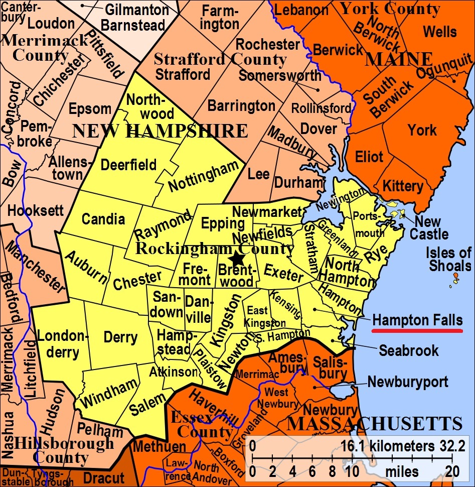
| To see a map of all sites click here. |
| H05-003 Brookside, Route 88, USGS Hampton Quadrangle, E34744, N475334, Zone 19 (42° 55' 9.70"N, 70° 52' 9.08"W), (GPS: 42.9194609°N, 70.8686428°W), Source: Town Office 1988 MAP |
| ------ Church, See: Dodge, H05-001 |
| H05-001 Dodge, Route 88, USGS Hampton Quadrangle, E34774, N475304, Zone 19 (42° 55' 0.19"N, 70° 51' 55.57"W), (GPS: 42.9168087°N, 70.8649308°W), Source: Town Office 1988 MAP |
| H05-007 Hawes, Route 88, USGS Exeter Quadrangle, E34444, N475803, Zone 19 (42° 57' 39.48"N, 70° 54' 26.03"W), (GPS: 42.9610521°N, 70.9067281°W), Note: Hawes is incorrectly label as Pike on Google Maps. Source: Town Office 1988 MAP |
| H05-006 Nason, Kensington Road, USGS Exeter Quadrangle, E34437, N475344, Zone 19 (42° 55' 10.70"N, 70° 54' 24.52"W), (GPS: 42.9197270°N, 70.9063092°W), Road previously known as Great Hill Road. Source: Town Office 1988 MAP |
| ------ Oak Lawn, See: Old Westview, H05-005. Oak Lawn is the modern extension of Old Westview, immediately to the south. |
| H05-002 Old Brookside, Route 88, USGS Hampton Quadrangle, E34747, N475329, Zone 19 (42° 55' 8.10"N, 70° 52' 7.71"W), (GPS: 42.9190047°N, 70.8683052°W), Source: Town Office 1988 MAP |
| H05-005 Old Westview, Nason Road, USGS Exeter Quadrangle, E34541, N475483, Zone 19 (42° 55' 56.50"N, 70° 53' 40.06"W), (GPS: 42.9324491°N, 70.8939573°W), Road name is New Road on some old maps. Source: Town Office 1988 MAP |
| H05-008 Pike, Route 88, USGS Exeter Quadrangle, E34418, N475839, Zone 19 (42° 57' 51"N, 70° 54' 38"W), Source: Town Office 1988 MAP |
| ------ Plains, See: Old Brookside, H05-002 |
| H05-004 Westview, Nason Road, USGS Exeter Quadrangle, E34543, N475487, Zone 19 (42° 55' 57.81"N, 70° 53' 39.21"W), (GPS: 42.9328132°N, 70.8937233°W), Road name is New Road on some old maps. Source: Town Office 1988 MAP |
Listings Copyright © 1998-2024 New Hampshire Old Graveyard Association.
All rights reserved.
Send mail to webmaster@nhoga.org with questions or comments about this web site.