| Burial Sites in Hinsdale, New Hampshire |
|---|
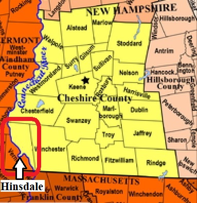
| To see a map of all sites click here. |
| H15-001 Brattleboro Rd. Cem., flooded, removed, USGS Brattleboro Quadrangle, E70378, N474015, Zone 18 (42° 47' 19"N, 72° 30' 31"W), Source: Robert Burnham 1978 MAP |
| ------ Catholic Cemetery, See: St. Joseph's, H15-007 |
| H15-003 Fort Dummer, Route 119, USGS Brattleboro Quadrangle, E70084, N474460, Zone 18 (42° 49' 46"N, 72° 32' 34"W), Source: Robert Burnham 1978 MAP |
| H15-004 Hooker, Prospect St. at School St. USGS Brattleboro Quadrangle, E70435, N473910, Zone 18 (42° 46' 44.87"N, 72° 30' 7.05"W), (GPS: 42.7791820°N, 72.5015060°W), Note: This cemetery is set way back from the road at the end of a field, enclosed by a white picket fence. Source: Sandy Sliviak - 2017 MAP |
| H15-002 Line Cemetery, Route 63, USGS Winchester Quadrangle, E70583, N474737, Zone 18 (42° 51' 11"N, 72° 28' 51"W), Map shows town line through the site. Hinsdale claims the whole, not half as Town Line, Chesterfield. Source: Robert Burnham 1978 MAP |
| ------ North Hinsdale, See: Oak Lawn, H15-008 |
| H15-008 Oak Lawn, Meeting House Road, USGS Brattleboro Quadrangle, E70289, N474423, Zone 18 (42° 49' 32.43"N, 72° 31' 4.59"W), (GPS: 42.8257900°N, 72.5175300°W), Link to Find A Grave. Source: Robert Burnham 1978, updated: Sandy Sliviak 2016 MAP |
| H15-006 Pike, Route 63, USGS Winchester Quadrangle, E70602, N473820, Zone 18 (42° 46' 14"N, 72° 28' 55"W), Source: Robert Burnham 1978 MAP |
| H15-005 Pine Grove (New), on Depot Street off Main St. (Rt 119), USGS Winchester Quadrangle, E70631, N473954, Zone 18 (42° 46' 57.23"N, 72° 28' 40.29"W), (GPS: 42.7826660°N, 72.4773960°W), Source: Robert Burnham 1978, updated: Sandy Sliviak 2016 MAP |
| H15-009 Pine Grove (Old), on Depot Street off Main St. (Rt 119), USGS Winchester Quadrangle, E70633, N473923, Zone 18 (42° 46' 47.17"N, 72° 28' 39.82"W), (GPS: 42.7798270°N, 72.4772700°W), Source: Robert Burnham 1978, updated: Sandy Sliviak 2016 MAP |
| H15-007 St. Joseph's, Plain Road, USGS Winchester Quadrangle, E70484, N474069, Zone 18 (42° 47' 36"N, 72° 29' 43"W), Source: Robert Burnham 1978 MAP |
Listings Copyright © 1998-2024 New Hampshire Old Graveyard Association.
All rights reserved.
Send mail to webmaster@nhoga.org with questions or comments about this web site.