| Burial Sites in Hooksett, New Hampshire |
|---|
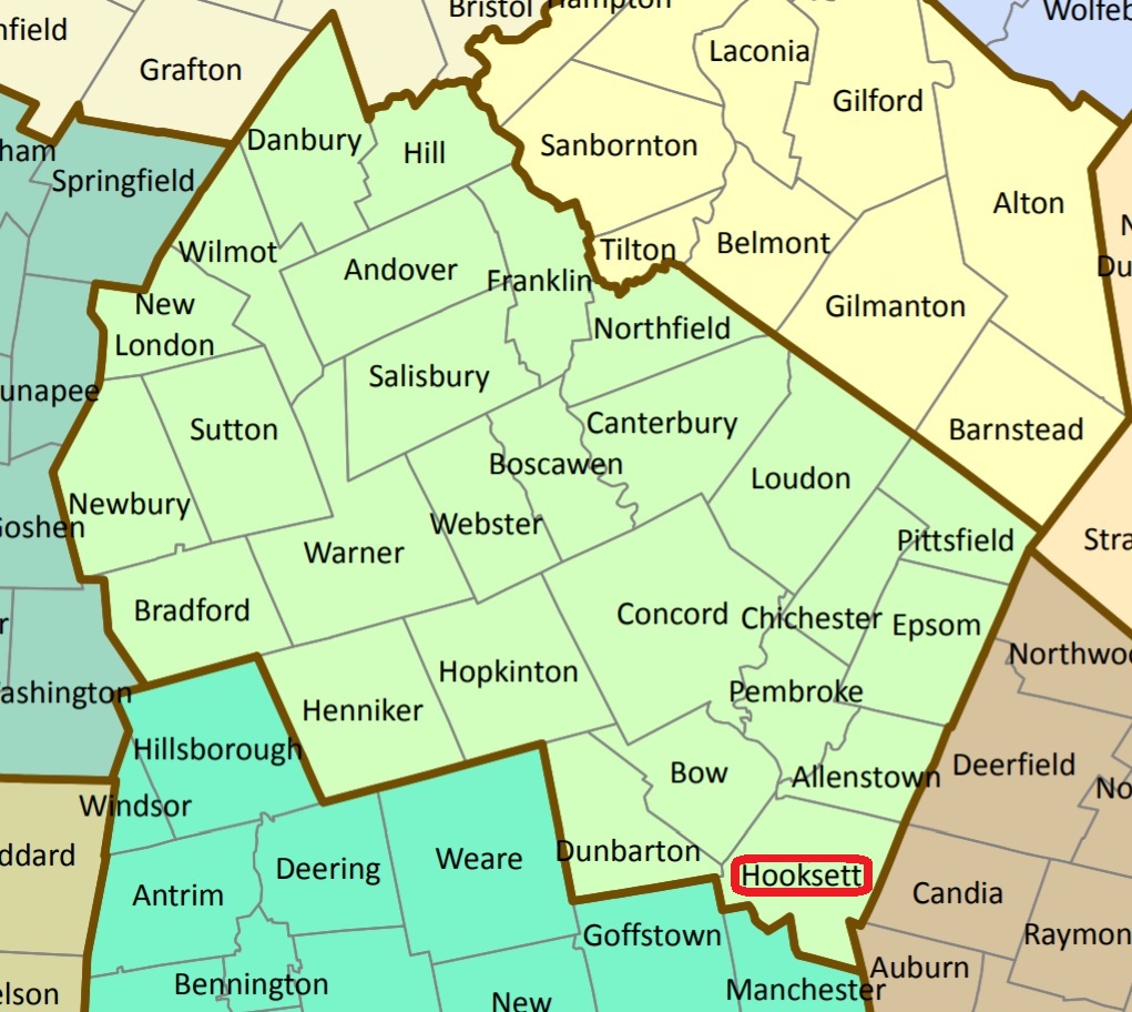
| To see a map of all sites click here. |
| H18-001 Austin, Hackett Hill Road, USGS Manchester North Quadrangle, E29713, N477194, Zone 19 (43° 4' 30"N, 71° 29' 31"W), Source: Alfa Chevrette, 1997 MAP |
| ------ Cate, See: Davis, H18-002 |
| H18-002 Davis, Hackett Hill Road, USGS Manchester North Quadrangle, E29812, N477238, Zone 19 (43° 4' 45"N, 71° 28' 48"W), Source: N.H. Historical Society, 1975 MAP |
| H18-003 Head, off Route 3A, USGS Manchester North Quadrangle, E29947, N477384, Zone 19 (43° 5' 34"N, 71° 27' 50"W), Source: NHHS 1975 MAP |
| H18-004 Holy Rosary, Main Street, USGS Manchester North Quadrangle, E29948, N477549, Zone 19 (43° 6' 27"N, 71° 27' 51"W), Source: NHHS 1975 MAP |
| H18-005 Martin, Martins Ferry Road, USGS Manchester North Quadrangle, E30078, N477385, Zone 19 (43° 5' 35"N, 71° 26' 52"W), Source: NHHS 1975 MAP |
| ------ Riverside Cemetery, See: West River Road Cemetery, H18-006 |
| H18-006 West River Road Cemetery, West River Road (Rte. 3A), USGS Manchester North Quadrangle, E29943, N476993, Zone 19 (43° 3' 27"N, 71° 27' 46"W), Source: NHHS 1975 MAP |
Listings Copyright © 1998-2024 New Hampshire Old Graveyard Association.
All rights reserved.
Send mail to webmaster@nhoga.org with questions or comments about this web site.