| Burial Sites in Keene, New Hampshire |
|---|
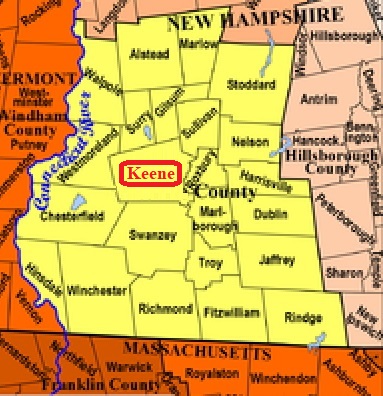
| To see a map of all sites click here. |
| K01-001 Ash Swamp, off West Street, USGS Keene Quadrangle, E71923, N475624, Zone 18 (42° 55' 45"N, 72° 18' 49"W), Source: Catherine Winters 1980 MAP |
| K01-002 Chase, Jct. East Surry Road and Walpole Road, USGS Keene Quadrangle, E72008, N475963, Zone 18 (42° 57' 34"N, 72° 18' 7"W), (Identification probable) Source: Catherine Winters 1980 MAP |
| K01-003 Greenlawn, Greenlawn Road, USGS Keene Quadrangle, E72243, N475757, Zone 18 (42° 56' 25"N, 72° 16' 26"W), Source: Catherine Winters 1980 MAP |
| K01-006 Hebrew, off Park Avenue, USGS Keene Quadrangle, E71893, N475831, Zone 18 (42° 56' 52"N, 72° 18' 59"W), This is a part of Monadnock View Cemetery. Source: Catherine Winters 1980 MAP |
| K01-004 Hurricane, Hurricane Road, USGS Keene Quadrangle, E71538, N475903, Zone 18 (42° 57' 19"N, 72° 21' 35"W), Source: Catherine Winters 1980 MAP |
| K01-005 Monadnock View, off Park Avenue, USGS Keene Quadrangle, E71893, N475829, Zone 18 (42° 56' 52"N, 72° 18' 59"W), Source: Catherine Winters 1980 MAP |
| ------ North Burying Ground, See: Chase, K01-002 |
| ------ Old Burying Ground, See: Washington, K01-007 |
| ------ Old Prison Street, See: Washington, K01-007 |
| K01-011 St. Joseph's, 600 Main Street, USGS Keene Quadrangle, E72262, N475445, Zone 18 (42° 54' 44"N, 72° 16' 22"W), Source: Catherine Winters 1980 MAP |
| K01-007 Washington, Washington St. USGS Keene Quadrangle, E72221, N475716, Zone 18 (42° 56' 12"N, 72° 16' 36"W), Source: Catherine Winters 1980 MAP |
| K01-008 West Cemetery, off Bradford St, USGS Keene Quadrangle, E71889, N475716, Zone 18 (42° 56' 15"N, 72° 19' 3"W), Source: Catherine Winters 1980 MAP |
| K01-009 Woodland, on North Lincoln St. off Beaver St. USGS Keene Quadrangle, E72296, N475781, Zone 18 (42° 56' 32.08"N, 72° 16' 2.23"W), (GPS: 42.9423200°N, 72.2667770°W), Note: This cemetery is connected to Greenlawn Cem. K01-003 by a driveway, "Chapel Dr.", within the cemetery. Source: Catherine Winters 1980, updated: Sandy Sliviak 2016 MAP |
| K01-010 Woodland-NE, George St. which runs between Washington St. from the west or North Lincoln St. from the east. USGS Keene Quadrangle, E72269, N475805, Zone 18 (42° 56' 40.14"N, 72° 16' 13.79"W), (GPS: 42.9445910°N, 72.2699820°W), Note: This cemetery is connected to Greenlawn Cem. K01-003, by a driveway, "Chapel Dr.", within the cemetery. Source: Catherine Winters 1980, updated: Sandy Sliviak 2016 MAP |
Listings Copyright © 1998-2024 New Hampshire Old Graveyard Association.
All rights reserved.
Send mail to webmaster@nhoga.org with questions or comments about this web site.