| Burial Sites in Lempster, New Hampshire |
|---|
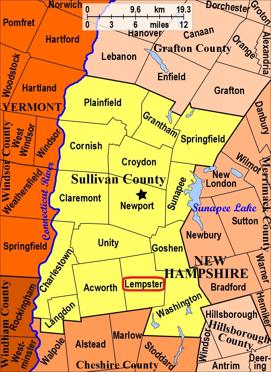
| To see a map of all sites click here. |
| ------ Dodge Pond Cemetery, See: Old Cemetery, L07-002 |
| ------ East Lempster Cemetery, See: Old Cemetery, L07-002 |
| L07-001 Gee, Gee Road, USGS Lovewell Mountain Quadrangle, E72784, N478533, Zone 18 (43° 11' 18"N, 72° 11' 47"W), Source: Jessica Stevens 1988 MAP |
| L07-002 Old Cemetery, Lempster Mountain Rd. at Rt. 10, USGS Lovewell Mountain Quadrangle, E72923, N478948, Zone 18 (43° 13' 30.83"N, 72° 10' 38.89"W), (GPS: 43.2253420°N, 72.1769970°W), Source: Jessica Stevens 1988, updated: Sandy Sliviak 2016 MAP |
| L07-003 Spaulding, off Lempster Mountain Road, USGS Lovewell Mountain Quadrangle, E73315, N478538, Zone 18 (43° 11' 14"N, 72° 7' 52"W), This site was originally duplicated in Washington with coordinates of E73343, N478627. Source: Jessica Stevens 1988, updated: Sandy Sliviak - 2020 MAP |
Listings Copyright © 1998-2024 New Hampshire Old Graveyard Association.
All rights reserved.
Send mail to webmaster@nhoga.org with questions or comments about this web site.