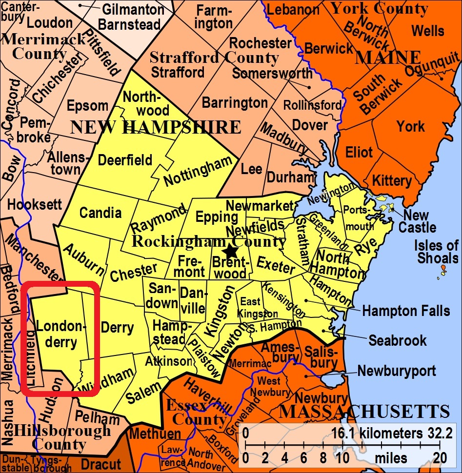
| Burial Sites in Londonderry, New Hampshire |
|---|
| Note: The sites with "red background" do not look correct on the Google maps corresponding to the lat/long coordinates for that cemetery. The problem may be either incorrect lat/long or changed street names. Please send any corrections to NHOGA Webmaster with corrected lat/longs in degrees/minutes/seconds or degrees + fractional degrees to 6 places. |
| To see a map of all sites click here. |
| ------ Boyd, See: Towne, L13-009 |
| L13-006 Glenwood, Mammoth Road (Rte. 128), USGS Windham Quadrangle, E30613, N474780, Zone 19 (42° 51' 36"N, 71° 22' 23"W), Source: June Vickers 1988 MAP |
| ------ Goss, See: Kendall Pond Cemetery, L13-008 |
| L13-007 Holy Cross, Gilcreast Road, USGS Windham Quadrangle, E30867, N474776, Zone 19 (42° 51' 37"N, 71° 20' 31"W), Source: June Vickers 1988 MAP |
| L13-008 Kendall Pond Cemetery, Kendall Pond Road, USGS Windham Quadrangle, E30761, N474562, Zone 19 (42° 50' 27"N, 71° 21' 15"W), Source: June Vickers 1988 MAP |
| ------ Londonderry Cemetery, See: Old Hill Cemetery, L13-004 |
| L13-004 Old Hill Cemetery, Hovey Road, USGS Derry Quadrangle, E30747, N475046, Zone 19 (42° 53' 4"N, 71° 21' 27"W), Previously listed as being on East Pillsbury Road Source: June Vickers 1988 MAP See: Find a Grave |
| L13-001 Pettingill, Harvey Road,
USGS Manchester South Quadrangle, E30208, N475394, Zone 19 (42° 54' 52"N, 71° 25' 29"W), Source: June Vickers 1988 According to Rob Norton (2018), Pettingill cemetery is no longer a cemetery. All burials were dis-intered from Pettingill and re-intered in Sunnyside, L13-002. MAP |
| ------ Pinkerton, See: Old Hill Cemetery, L13-004. Note: Pinkerton and Old Hill Cemetery (L13-004) both share the same address on E. Pillbury Rd., but they are two separate cemeteries. Source: Rob Norton - 2018 |
| L13-003 Pleasant View, Mammoth Road, USGS Manchester South Quadrangle, E30511, N475174, Zone 19 (42° 53' 43"N, 71° 23' 13"W), Source: June Vickers 1988 MAP |
| L13-002 Sunnyside, Litchfield Road, USGS Manchester South Quadrangle, E30204, N475225, Zone 19 (42° 53' 57"N, 71° 25' 29"W), Source: June Vickers 1988 MAP |
| L13-009 Towne, Boyd Road, USGS Nashua North Quadrangle, E30470, N474454, Zone 19 (42° 49' 50"N, 71° 23' 22"W), Source: June Vickers 1988 MAP |
| L13-005 Valley, Willow Ln. off Pillsbury Road, USGS Windham Quadrangle, E30718, N474909, Zone 19 (42° 52' 19"N, 71° 21' 38"W), Source: June Vickers 1988; 2017 observation: Location is probably on Willow Ln. MAP |
Listings Copyright © 1998-2024 New Hampshire Old Graveyard Association.
All rights reserved.
Send mail to webmaster@nhoga.org with questions or comments about this web site.