| Burial Sites in Manchester, New Hampshire |
|---|
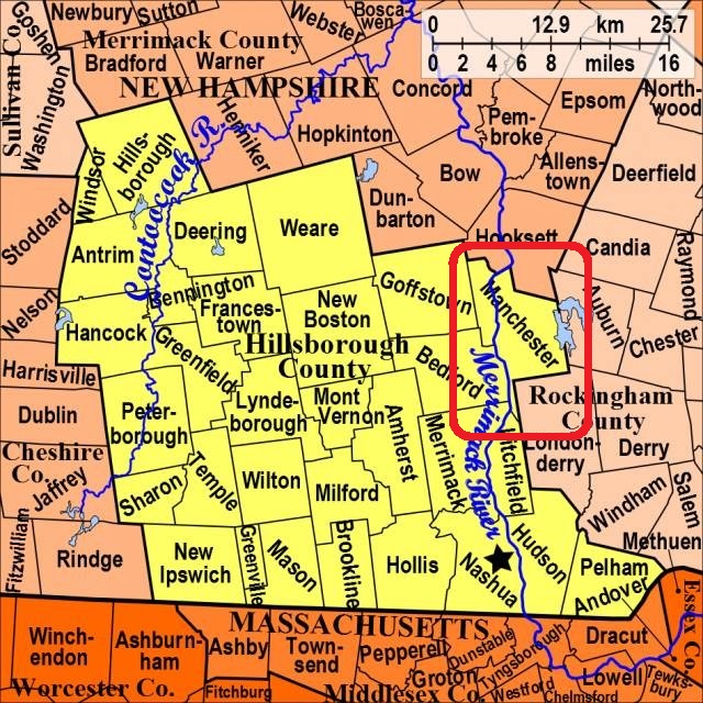
| To see a map of all sites click here. |
| M03-001 Amoskeag, Goffstown Road, USGS Manchester North Quadrangle, E29782, N476407, Zone 19 (43° 0' 16"N, 71° 28' 50"W), This is at 206 Goffstown Road. Source: Manchester Hist. Assoc. 1987 MAP |
| ------ Centre Cemetery, See: Huse, M03-004 |
| M03-XXX Forest, obliterated, (Location unknown), (Coordinates needed) Source: Unknown |
| ------ Goffs Falls, See: Moore, M03-006 |
| M03-002 Hall, Young Street, USGS Manchester South Quadrangle, E30126, N476093, Zone 19 (42° 58' 37"N, 71° 26' 14"W), This is at 402 Young Street. Source: Manchester Hist. Assoc. 1987 MAP |
| M03-003 Hebrew, 245 South Beech St. USGS Manchester South Quadrangle, E29971, N476002, Zone 19 (42° 58' 6.32"N, 71° 27' 21.29"W), (GPS: 42.9684690°N, 71.4554060°W), Note: This is actually two cemeteries each owned separately, one by Temple Adath Yeshurun and the other by Temple Israel. The chapel in between is jointly owned. Source: Manchester Hist. Assoc. 1987, updated 2017. MAP |
| M03-004 Huse, South Mammoth Road, USGS Manchester South Quadrangle, E30189, N476082, Zone 19 (42° 58' 34"N, 71° 25' 46"W), This is at 475 Mammoth Road. Source: Manchester Hist. Assoc. 1987 MAP |
| ------ Jewish, See: Hebrew, M03-003 |
| ------ Manchester Center, See: Huse, M03-004 |
| M03-005 Merrill, South Willow St. (Rte. 28), USGS Manchester South Quadrangle, E30138, N475800, Zone 19 (42° 57' 2"N, 71° 26' 5"W), This is at 1750 South Willow Street. Source: Manchester Hist. Assoc. 1987 MAP |
| M03-006 Moore, 2750 Brown Avenue (Rte. 3A), USGS Manchester South Quadrangle, E29989, N475607, Zone 19 (42° 55' 58.55"N, 71° 27' 8.27"W), (GPS: 42.9330300°N, 71.4518100°W), Source: Manchester Hist. Assoc. 1987, updated: Webmaster 2017 MAP |
| M03-007 Mt. Calvary, Goffstown Road, USGS Manchester North Quadrangle, E29732, N476410, Zone 19 (43° 0' 16"N, 71° 29' 12"W), This is at 474 Goffstown Road. Source: Manchester Hist. Assoc. 1987 MAP |
| M03-008 Pine Grove, 765 Brown Avenue, USGS Manchester South Quadrangle, E29890, N475917, Zone 19 (42° 57' 38"N, 71° 27' 56"W), This is a very large public cemetery Source: Manchester Hist. Assoc. 1987 MAP |
| M03-009 Piscataquog, Bowman Street, USGS Manchester South Quadrangle, E29784, N476130, Zone 19 (42° 58' 46"N, 71° 28' 45"W), Source: Manchester Hist. Assoc. 1987 MAP |
| M03-010 St. Augustine (new), 998 South Beech St. USGS Manchester South Quadrangle, E29967, N475860, Zone 19 (42° 57' 20.29"N, 71° 27' 21.22"W), (GPS: 42.9556760°N, 71.4554170°W), Source: Manchester Hist. Assoc. 1987, Updated webmaster: 2017 MAP |
| M03-011 St. Augustine (old), 239 South Beech St. USGS Manchester South Quadrangle, E29971, N476004, Zone 19 (42° 58' 6.97"N, 71° 27' 21.31"W), (GPS: 42.9686470°N, 71.4554050°W), Source: Manchester Hist. Assoc. 1987, updated webmaster: 2017 MAP |
| M03-012 St. Hedwidge, 175 Donald Street, USGS Manchester South Quadrangle, E29701, N476083, Zone 19 (42° 58' 29.98"N, 71° 29' 21.42"W), (GPS: 42.9750380°N, 71.4887650°W), This is one corner of ST. Joseph's Cemetery. Source: Manchester Hist. Assoc. 1987, updated webmaster: 2017. MAP |
| M03-013 St. Joseph's (old), 175 Donald Street, USGS Manchester South Quadrangle, E29701, N476083, Zone 19 (42° 58' 29.98"N, 71° 29' 21.42"W), (GPS: 42.9750380°N, 71.4887650°W), The new St. Joseph's is over the line in Bedford. Source: Manchester Hist. Assoc. 1987, updated webmaster: 2017 MAP |
| ------ St.Joseph's (new), See: St. Joseph's, B07-008 in Bedford |
| M03-014 Stark, 630 North River Road, USGS Manchester North Quadrangle, E29880, N476530, Zone 19 (43° 0' 56.47"N, 71° 28' 8.27"W), (GPS: 43.0157580°N, 71.4684550°W), Source: Manchester Hist. Assoc. 1987, updated by webmaster: 2017 MAP |
| M03-015 Stowell, Bodwell Road, USGS Manchester South Quadrangle, E30475, N475774, Zone 19 (42° 56' 57"N, 71° 23' 36"W), Source: Manchester Hist. Assoc. 1987 MAP |
| M03-016 Valley, Auburn St. between Elm & Pine, USGS Manchester South Quadrangle, E29934, N476186, Zone 19 (42° 59' 5.57"N, 71° 27' 39.98"W), (GPS: 42.9849300°N, 71.4606500°W), Source: Manchester Hist. Assoc. 1987, updated: FindaGrave 2017 MAP |
| M03-017 Zimmerman House, 223 Heather St, (GPS: 43.0220280°N, 71.4627490°W), Note: The ashes of Isadore and Lucille Zimmerman are interred in the back yard of their Frank Lloyd Wright house with small flush markers. Since there are no interred bodies, some would say it is not a cemetery. Source: Webmaster 2017 MAP |
Listings Copyright © 1998-2024 New Hampshire Old Graveyard Association.
All rights reserved.
Send mail to webmaster@nhoga.org with questions or comments about this web site.