| Burial Sites in Mason, New Hampshire |
|---|
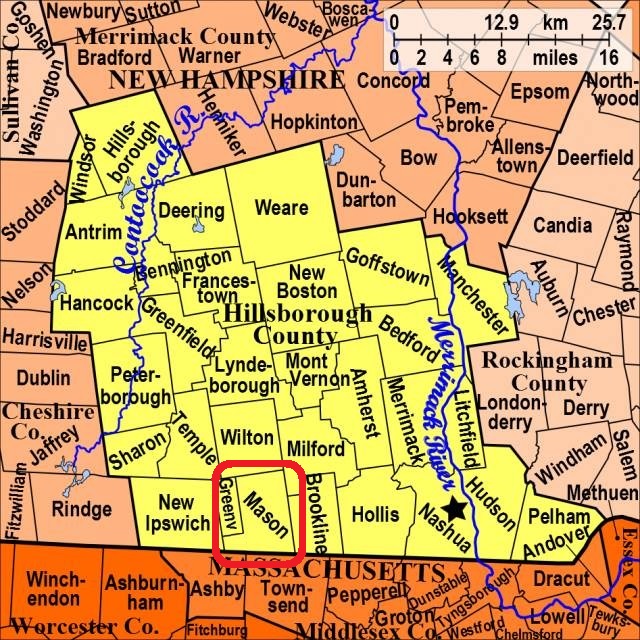
| To see a map of all sites click here. |
| M07-005 Old Mason Cemetery, Meeting House Hill Road, USGS Ashburnham Quadrangle, E27337, N473600, Zone 19 (42° 44' 42"N, 71° 46' 8"W), Source: Richard Eaton 1978 MAP |
| M07-002 Pleasant View, Valley Road (Rte. 123), USGS Ashburnham Quadrangle, E27347, N473558, Zone 19 (42° 44' 28"N, 71° 46' 3"W), Source: Richard Eaton 1978 MAP |
| ------ Pole Hill, See: Tarbell, M07-004 |
| M07-001 Pratt, Starch Mill Road, USGS Milford Quadrangle, E27560, N473880, Zone 19 (42° 46' 15"N, 71° 44' 34"W), Source: Richard Eaton 1978 MAP |
| M07-003 Prospect Hill, Old Ashby Road, USGS Ashburnham Quadrangle, E27317, N473526, Zone 19 (42° 44' 18"N, 71° 46' 16"W), Source: Richard Eaton 1978 MAP |
| M07-004 Tarbell, Brookline Road, USGS Townsend Quadrangle, E27545, N473648, Zone 19 (42° 44' 60"N, 71° 44' 37"W), Source: Richard Eaton 1978 MAP |
Listings Copyright © 1998-2024 New Hampshire Old Graveyard Association.
All rights reserved.
Send mail to webmaster@nhoga.org with questions or comments about this web site.