| Burial Sites in Merrimack, New Hampshire |
|---|
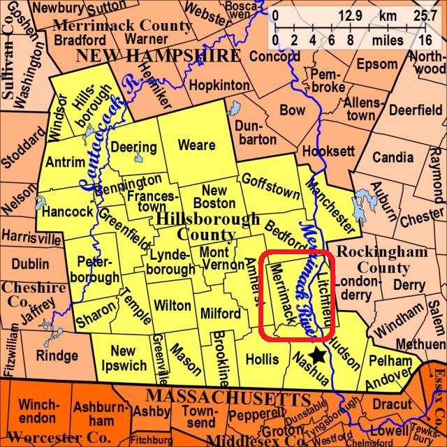
| To see a map of all sites click here. |
| M09-006 Bowers, Powers Circle, USGS South Merrimack Quadrangle, E29166, N475241, Zone 19 (42° 53' 52.08"N, 71° 33' 6.11"W), (GPS: 42.8978950°N, 71.5512050°W), Source: Richard Maloon, 2016 MAP |
| ------ Center Cemetery, See: Turkey Hill, M09-005 |
| M09-001 Last Rest Cemetery, Baboosic Lake Road, USGS Nashua North Quadrangle, E29605, N474897, Zone 19 (42° 52' 4.93"N, 71° 29' 48.23"W), (GPS: 42.8681600°N, 71.4962450°W), Source: Town Office, updated: Richard Maloon, 2016 MAP |
| M09-002 Reed, Naticook Road, USGS South Merrimack Quadrangle, E29254, N474277, Zone 19 (42° 48' 40.73"N, 71° 32' 14.55"W), (GPS: 42.8113890°N, 71.5369440°W), Source: Town Office, updated: Richard Maloon, 2016 MAP |
| M09-003 Reeds Ferry, Route 3, USGS Manchester South Quadrangle, E29778, N475090, Zone 19 (42° 53' 9.10"N, 71° 28' 34.56"W), (GPS: 42.8859200°N, 71.4757630°W), Source: Town Office, updated: Richard Maloon, 2016 MAP |
| ------ South Merrimack, See: Reed, M09-002 |
| M09-004 Thorntons Ferry, Route 3, USGS Nashua North Quadrangle, E29644, N474584, Zone 19 (42° 50' 23.93"N, 71° 29' 26.98"W), (GPS: 42.8400630°N, 71.4903640°W), Source: Town Office, updated: Richard Maloon, 2016 MAP |
| M09-005 Turkey Hill, Turkey Hill Road, USGS South Merrimack Quadrangle, E29401, N474795, Zone 19 (42° 51' 29.93"N, 71° 31' 16.70"W), (GPS: 42.8583680°N, 71.5207930°W), Source: Town Office, updated: Richard Maloon, 2016 MAP |
Listings Copyright © 1998-2024 New Hampshire Old Graveyard Association.
All rights reserved.
Send mail to webmaster@nhoga.org with questions or comments about this web site.