| Burial Sites in New Castle, New Hampshire |
|---|
| Note: The sites with "red background" do not look correct on the Google maps corresponding to the lat/long coordinates for that cemetery. The problem may be either incorrect lat/long or changed street names. Please send any corrections to NHOGA Webmaster with corrected lat/longs in degrees/minutes/seconds or degrees + fractional degrees to 6 places. |
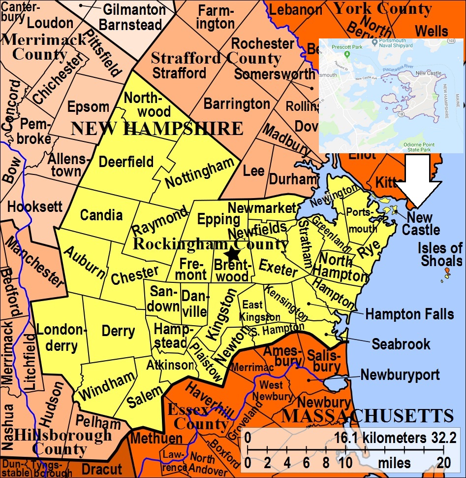
| To see a map of all sites click here. |
| N05-007 Amazeen, off Neals Lane, USGS Kittery Quadrangle, E35980, N476970, Zone 19 (43° 4' 8"N, 70° 43' 19"W), Source: From Cynthia P. Thomas 1993 MAP |
| N05-008 Amazeen/Locke/Batson Field, off Colonial Lane, USGS Kittery Quadrangle, E35992, N476978, Zone 19 (43° 4' 11"N, 70° 43' 14"W), Source: From Cynthia P. Thomas 1993 MAP |
| ------ Batson Field, See: Amazeen/Locke/Batson Field, N05-008 |
| N05-015 Burial Ground/Yeaton, off Main St. (Rte. 1B), USGS Kittery Quadrangle, E35996, N476998, Zone 19 (43° 4' 18"N, 70° 43' 12"W), Source: Cynthia P. Thomas 1993 MAP |
| N05-010 Davidson, off Wentworth Rd. (Rte. 1B), USGS Kittery Quadrangle, E36041, N476978, Zone 19 (43° 4' 11"N, 70° 42' 52"W), Source: From Cynthia P. Thomas 1993 MAP |
| N05-09C Davis, off Wentworth Road, USGS Kittery Quadrangle, E36011, N476957, Zone 19 (43° 4' 4"N, 70° 43' 5"W), Source: From Cynthia P. Thomas 1993 MAP |
| ------ Fish, See: Ruee/Fish, N05-09D |
| N05-09B Flynn, Talbutt's Lane, USGS Kittery Quadrangle, E36011, N476963, Zone 19 (43° 4' 6"N, 70° 43' 5"W), Source: From Cynthia P. Thomas 1993 MAP |
| N05-004 Franklin, off Riverview Road, USGS Kittery Quadrangle, E35952, N477004, Zone 19 (43° 4' 19"N, 70° 43' 32"W), Source: Cynthia P. Thomas 1993 MAP |
| N05-011 Frost, Main Street, USGS Kittery Quadrangle, E36003, N476997, Zone 19 (43° 4' 17"N, 70° 43' 9"W), Source: Cynthia P. Thomas 1993 MAP |
| N05-002 Green, Laurel Lane, USGS Kittery Quadrangle, E35932, N476980, Zone 19 (43° 4' 11"N, 70° 43' 40"W), Source: Cynthia P. Thomas 1993 MAP |
| N05-003 Jenkins, off Riverview Road, USGS Kittery Quadrangle, E35951, N477008, Zone 19 (43° 4' 20"N, 70° 43' 32"W), Source: Cynthia P. Thomas 1993 MAP |
| N05-006 Locke, Locke Road, USGS Kittery Quadrangle, E35965, N476967, Zone 19 (43° 4' 7"N, 70° 43' 26"W), The original markers were uprooted. A monument was later put up. Source: Cynthia P. Thomas 1993 MAP |
| ------ Locke, See: Amazeen/Locke/Batson Field, N05-008 |
| ------ Marsh, See: Tarleton/Marsh, N05-09A |
| ------ Martin, See: Preble/Martin, N05-012 |
| N05-005 Oliver, off Portsmouth, USGS Kittery Quadrangle, E35964, N476984, Zone 19 (43° 4' 13"N, 70° 43' 26"W), Source: Cynthia P. Thomas 1993 MAP |
| N05-012 Preble/Martin, off Piscataqua St. USGS Kittery Quadrangle, E36022, N476999, Zone 19 (43° 4' 18"N, 70° 43' 1"W), This is the Preble/Martin site. Source: Cynthia P. Thomas 1993 MAP |
| N05-001 Riverside, Portsmouth Ave. (Rte. 1B), active town cemetery, USGS Kittery Quadrangle, E35920, N476992, Zone 19 (43° 4' 15"N, 70° 43' 46"W), Source: Cynthia P. Thomas 1993 MAP |
| N05-09D Ruee/Fish, off Wentworth Road, USGS Kittery Quadrangle, E36004, N476953, Zone 19 (43° 4' 3"N, 70° 43' 8"W), Source: Cynthia P. Thomas 1993 MAP |
| N05-09A Tarleton/Marsh, Neals Pit Lane, USGS Kittery Quadrangle, E35998, N476963, Zone 19 (43° 4' 6"N, 70° 43' 11"W), Source: Cynthia P. Thomas 1993 MAP |
| ------ Tarlton's Field, See: Franklin, N05-004 |
| N05-013 Upper Church, off Main Street (Rte. 1B), USGS Kittery Quadrangle, E36034, N476993, Zone 19 (43° 4' 16"N, 70° 42' 55"W), Source: Cynthia P. Thomas 1993 MAP |
| N05-014 Vennard, off Main Street (Rte. 1B), USGS Kittery Quadrangle, E36008, N476982, Zone 19 (43° 4' 12"N, 70° 43' 7"W), Source: Cynthia P. Thomas 1993 MAP |
| ------ Yeaton, See: Burial Ground/Yeaton, N05-015 |
Listings Copyright © 1998-2024 New Hampshire Old Graveyard Association.
All rights reserved.
Send mail to webmaster@nhoga.org with questions or comments about this web site.