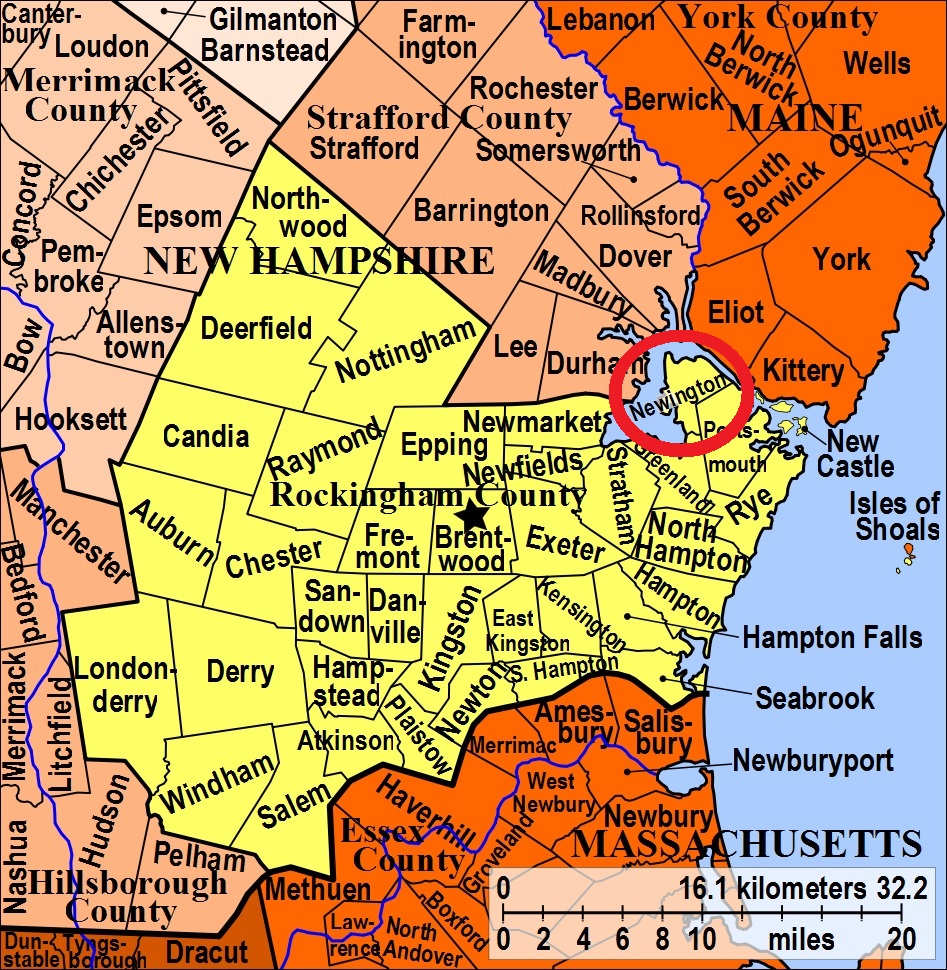


| Burial Sites in Newington, New Hampshire |
|---|
| To see a map of all sites click here. |
| N09-001 Coleman, off Nimble Hill Road, USGS Portsmouth Quadrangle, E35092, N477328, Zone 19 (43° 5' 58.27"N, 70° 49' 54.85"W), (GPS: 43.0996320°N, 70.8313390°W), Source: Barbara Myers 1993, updated: Alan Wilson 2018 MAP |
| N09-002 Dow/Smith Family Cem., Shattuck Way, USGS Portsmouth Quadrangle, E35313, N477378, Zone 19 (43° 6' 16"N, 70° 48' 18"W), Source: Barbara Myers 1993, updated: Alan Wilson 2016 MAP |
| N09-003 Downing, off Spaulding Turnpike (Rte. 4), (behind the old drive-in theater), USGS Portsmouth Quadrangle, E35218, N477385, Zone 19 (43° 6' 18"N, 70° 48' 60"W), Source: Barbara Myers 1993 MAP |
| N09-011 Hoyt, Fox Point Road, USGS Portsmouth Quadrangle, E35073, N477388, Zone 19 (43° 6' 18"N, 70° 50' 4"W), Nutter ancestors also buried here. Source: Alan Wilson 2017 MAP |
| N09-004 Newington Cemetery, Village Center, USGS Portsmouth Quadrangle, E35079, N477322, Zone 19 (43° 5' 56"N, 70° 50' 1"W), Markers from Pease Air Base were moved here. Source: Barbara Myers 1993 MAP |
| ------ Nutter, See: Hoyt, N09-011 |
| N09-005 Pickering, off Woodbury Ave. USGS Portsmouth Quadrangle, E35346, N477282, Zone 19 (43° 5' 45"N, 70° 48' 2"W), Surrounded by development: restoration and maintainance funding is being provided by developers. Source: Barbara Myers 1993 MAP |
| N09-006 Pickering, Newington Road, USGS Portsmouth Quadrangle, E35050, N476974, Zone 19 (43° 4' 3.27"N, 70° 50' 9.99"W), (GPS: 43.0676622°N, 70.8356055°W), Source: Barbara Myers 1993, Updated: Alan Wilson 2017 MAP |
| N09-007 Pickering, off Little Bay Road, USGS Portsmouth Quadrangle, E35008, N477338, Zone 19 (43° 6' 1"N, 70° 50' 32"W), Source: Barbara Myers 1993 MAP |
| N09-008 Pickering Stone, removed, (Location unknown), The marker and remains for Valentine Pickering were removed from the tank farm to the Newington Cemetery, N09-004. (Coordinates needed) Source: Unknown |
| N09-009 Rollins, off Patterson Lane, USGS Portsmouth Quadrangle, E35312, N477413, Zone 19 (43° 6' 27"N, 70° 48' 18"W), Source: Barbara Myers 1993 MAP |
| N09-010 Rollins, Patterson Lane, USGS Portsmouth Quadrangle, E35295, N477394, Zone 19 (43° 6' 21"N, 70° 48' 26"W), Source: Barbara Myers 1993 MAP |
| ------ Smith Family Cem., See: Dow/Smith Family Cem., N09-002 |
Listings Copyright © 1998-2024 New Hampshire Old Graveyard Association.
All rights reserved.
Send mail to webmaster@nhoga.org with questions or comments about this web site.
