| Burial Sites in Northfield, New Hampshire |
|---|
| Note: The sites with "red background" do not look correct on the Google maps corresponding to the lat/long coordinates for that cemetery. The problem may be either incorrect lat/long or changed street names. Please send any corrections to NHOGA Webmaster with corrected lat/longs in degrees/minutes/seconds or degrees + fractional degrees to 6 places. |
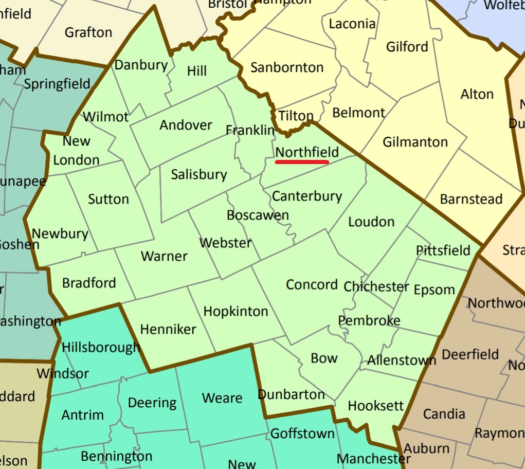
| To see a map of all sites click here. |
| N15-001 Arch Hill, Summer Street, USGS Northfield Quadrangle, E29065, N481261, Zone 19 (43° 26' 21"N, 71° 35' 13"W), Source: Town of Northfield MAP |
| N15-002 Calef/Corliss, Shaker Road, USGS Northfield Quadrangle, E29640, N481082, Zone 19 (43° 25' 28"N, 71° 30' 55"W), Source: Town of Northfield MAP |
| N15-003 Cemetery (no family identity on record), Bean Hill Road, USGS Northfield Quadrangle, E29238, N480958, Zone 19 (43° 24' 44"N, 71° 33' 52"W), Source: Geologic Survey Map MAP |
| N15-004 Cilley, Bean Hill Road, USGS Northfield Quadrangle, E29591, N480852, Zone 19 (43° 24' 13"N, 71° 31' 13"W), Source: Town of Northfield MAP |
| ------ Corliss, See: Calef/Corliss, N15-002 |
| N15-005 Gile, Bean Hill Road, USGS Northfield Quadrangle, E29481, N480932, Zone 19 (43° 24' 38"N, 71° 32' 3"W), Source: Town of Northfield MAP |
| N15-013 Glidden, Highland Mtn. Road, USGS Northfield Quadrangle, E29054, N481128, Zone 19 (43° 25' 37"N, 71° 35' 16"W), Source: Town of Northfield MAP |
| N15-006 Gorrell, Shaker Road, USGS Northfield Quadrangle, E29415, N481197, Zone 19 (43° 26' 3"N, 71° 32' 36"W), Source: Town of Northfield MAP |
| N15-007 Graveyard (no family identity on record), Bean Hill Road, USGS Northfield Quadrangle, E29515, N480919, Zone 19 (43° 24' 34"N, 71° 31' 48"W), Source: Town of Northfield MAP |
| N15-008 Hodgdon, Hodgdon Road, USGS Northfield Quadrangle, E28772, N481120, Zone 19 (43° 25' 32"N, 71° 37' 21"W), Source: Town of Northfield MAP |
| N15-009 Knowles, Knowles Pond Road, USGS Northfield Quadrangle, E29364, N481169, Zone 19 (43° 25' 54"N, 71° 32' 58"W), Source: Town of Northfield MAP |
| N15-010 Oak Hill Cemetery, Oak Hill Road, USGS Franklin Quadrangle, E28687, N480618, Zone 19 (43° 22' 49"N, 71° 37' 52"W), Source: Town of Northfield MAP |
| N15-011 Rand, Shaker Road, USGS Northfield Quadrangle, E29562, N481098, Zone 19 (43° 25' 33"N, 71° 31' 29"W), Source: Town of Northfield MAP |
| N15-012 Williams, Concord Road, USGS Northfield Quadrangle, E28986, N481009, Zone 19 (43° 24' 58"N, 71° 35' 44"W), Source: Town of Northfield MAP |
Listings Copyright © 1998-2024 New Hampshire Old Graveyard Association.
All rights reserved.
Send mail to webmaster@nhoga.org with questions or comments about this web site.