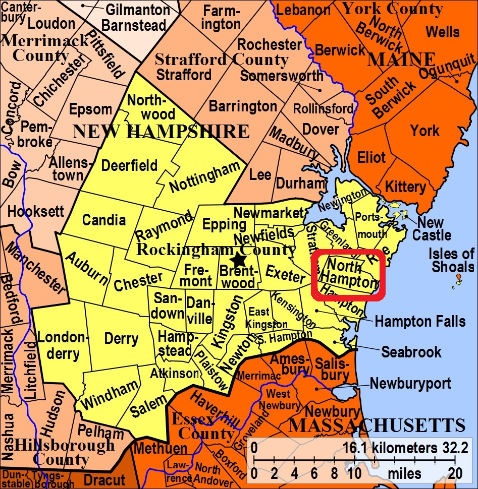


| Burial Sites in North Hampton, New Hampshire |
|---|
| To see a map of all sites click here. |
| N16-001 Burleigh/Marston, Near jct. Lovering & Walnut Rds. markers lost, USGS Hampton Quadrangle, (GPS: 42.9905400°N, 70.8742940°W), Source: Unknown MAP |
| N16-002 Center Cemetery, Post Road, USGS Hampton Quadrangle, E34965, N476020, Zone 19 (42° 58' 54"N, 70° 50' 38"W), Large, active town cemetery Source: M. Mattoon 1980 MAP |
| N16-003 Dearborn, Exeter Road, USGS Hampton Quadrangle, E34756, N475944, Zone 19 (42° 58' 27"N, 70° 52' 10"W), Near "Shaw Graveyard, N16-018 Site. Source: M. Mattoon 1980 MAP |
| N16-004 East Cemetery/Little River Cemetery, Atlantic Ave. USGS Hampton Quadrangle, E35319, N475822, Zone 19 (42° 57' 51.89"N, 70° 48' 0.20"W), (GPS: 42.9644600°N, 70.7995400°W), Source: Find-a-grave 2016 MAP |
| N16-005 Fogg, by 101 Mill Road, USGS Hampton Quadrangle, E35325, N476015, Zone 19 (42° 58' 54"N, 70° 47' 59"W), Source: M. Mattoon 1980 MAP |
| N16-006 Fogg, rear Atlantic (Rte. 111), USGS Hampton Quadrangle, E35145, N475918, Zone 19 (42° 58' 22"N, 70° 49' 18"W), This is to the rear of the Elementary School. Source: M. Mattoon 1980 MAP |
| N16-007 Frost, rear 134 Walnut, USGS Exeter Quadrangle, E34704, N476109, Zone 19 (42° 59' 21"N, 70° 52' 34"W), Source: M. Mattoon 1980 MAP |
| N16-008 Garland, rear of 51 West Road, USGS Hampton Quadrangle, (GPS: 42.9992990°N, 70.7973840°W), No markers but there may not have been thorough removal at this site. Source: Arlene Rogers MAP |
| N16-009 Haines, off Post Road (near the Greenland border), USGS Portsmouth Quadrangle, E34973, N476282, Zone 19 (43° 0' 19"N, 70° 50' 37"W), Source: M. Mattoon 1980 MAP |
| N16-010 Jenness, rear 130 Woodland Road, USGS Hampton Quadrangle, E35308, N475785, Zone 19 (42° 57' 40"N, 70° 48' 5"W), Source: M. Mattoon 1980 MAP |
| N16-011 Lamprey, Winnicut Road, USGS Hampton Quadrangle, E34880, N476216, Zone 19 (42° 59' 56"N, 70° 51' 18"W), There is a handsome cast iron gate here. Source: M. Mattoon 1980 MAP |
| ------ Little River, See: East Cemetery/Little River Cemetery, N16-004 |
| N16-012 Locke, off Old Locke Road, USGS Hampton Quadrangle, E35503, N475885, Zone 19 (42° 58' 14"N, 70° 46' 40"W), This is a separate cemetery down the hill from the Philbrick, N16-016 Site. Source: M. Mattoon 1980 MAP |
| ------ Marston, See: Burleigh/Marston, N16-001 |
| N16-013 Marston, rear Atlantic Ave. (Rte. 111), USGS Hampton Quadrangle, E35190, N475848, Zone 19 (42° 57' 59"N, 70° 48' 57"W), Source: M. Mattoon 1980 MAP |
| N16-014 Marston, rear of 152 Atlantic Ave. (Rte. 111), USGS Hampton Quadrangle, E35270, N475872, Zone 19 (42° 58' 8"N, 70° 48' 22"W), Source: M. Mattoon 1980 MAP |
| N16-015 Moulton, rear 130 Mill, USGS Hampton Quadrangle, E35344, N475895, Zone 19 (42° 58' 16"N, 70° 47' 50"W), Source: M. Mattoon 1980 MAP |
| N16-016 Philbrick, Country Club Estates Road, USGS Hampton Quadrangle, E35503, N475885, Zone 19 (42° 58' 14"N, 70° 46' 40"W), This is a separate cemetery up the hill from the Locke, N16-012 Site. Source: M. Mattoon 1980 MAP |
| N16-017 Post Road Cemetery, Post (Rte. 151) and South Rds. USGS Hampton Quadrangle, E34990, N475823, Zone 19 (42° 57' 50"N, 70° 50' 25"W), Source: M. Mattoon 1980 MAP |
| N16-018 Shaw, Exeter Road, USGS Hampton Quadrangle, E34756, N475944, Zone 19 (42° 58' 27"N, 70° 52' 10"W), This is down the hill, next to the Dearborn, N16-003 Site. Source: M. Mattoon 1980 MAP |
Listings Copyright © 1998-2024 New Hampshire Old Graveyard Association.
All rights reserved.
Send mail to webmaster@nhoga.org with questions or comments about this web site.
